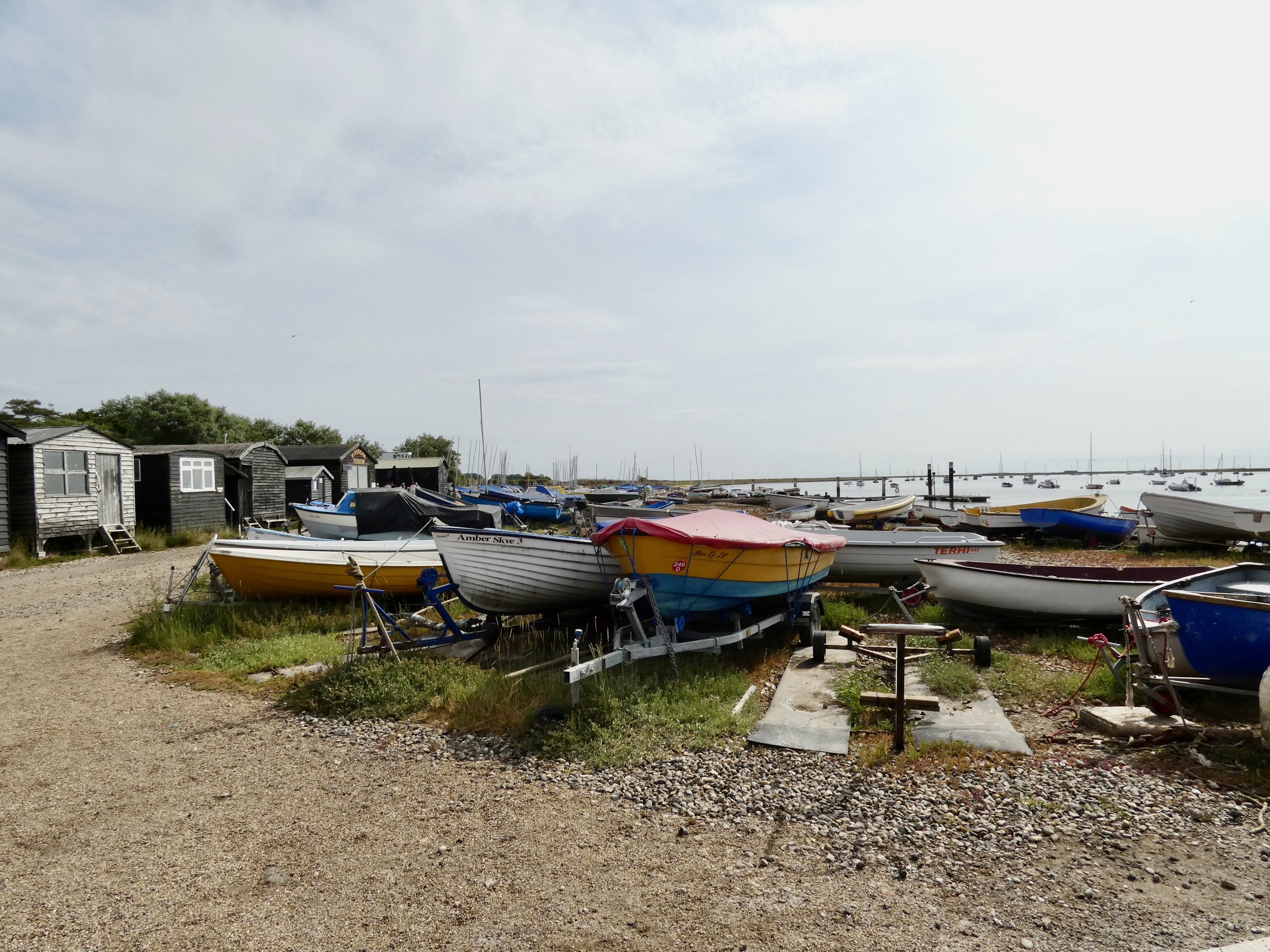
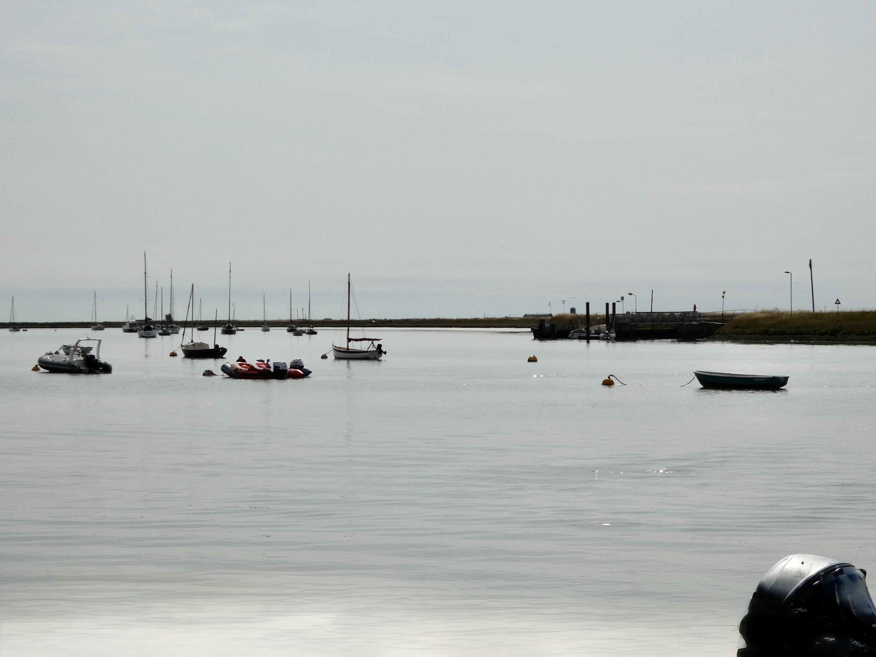
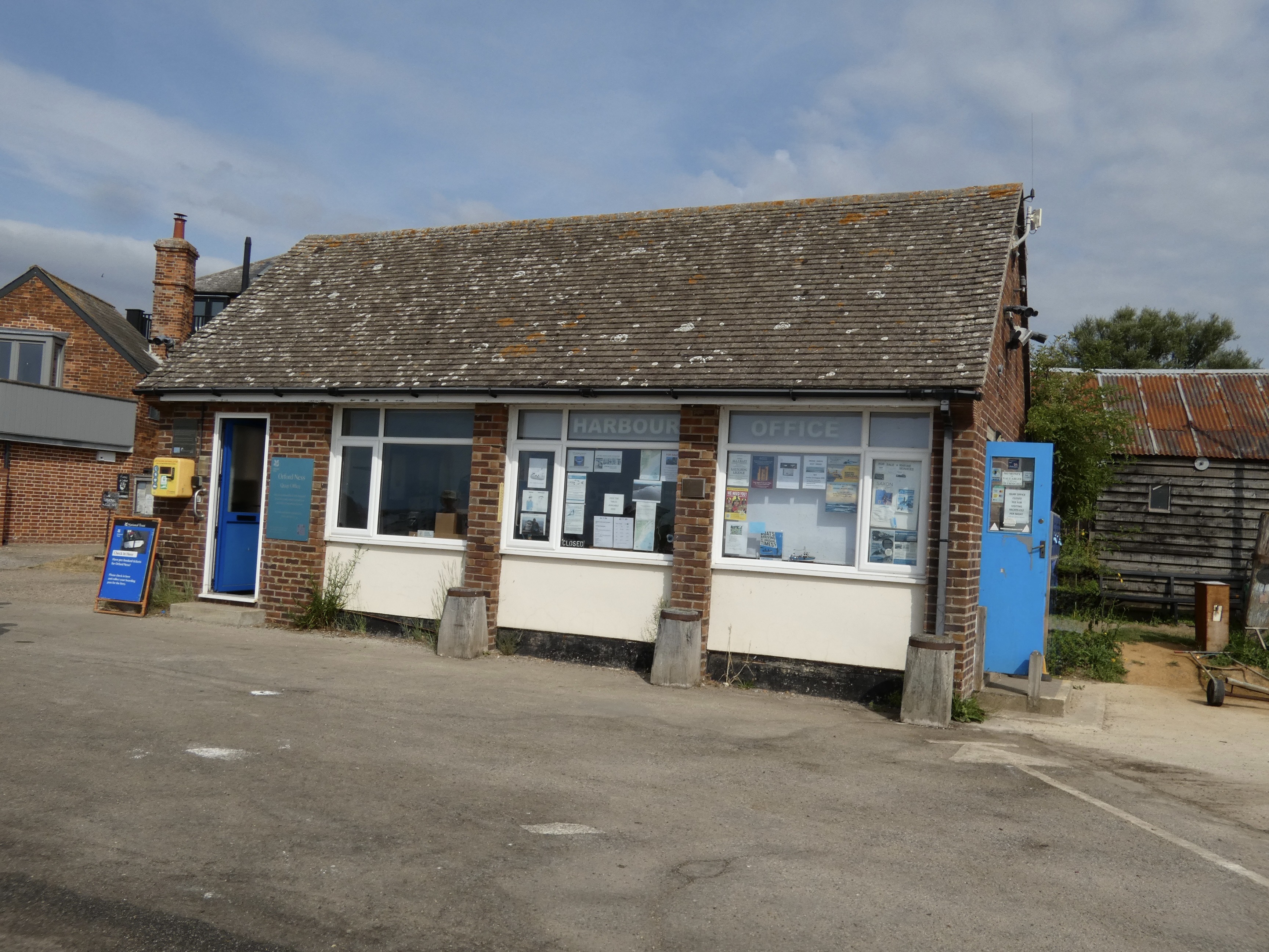
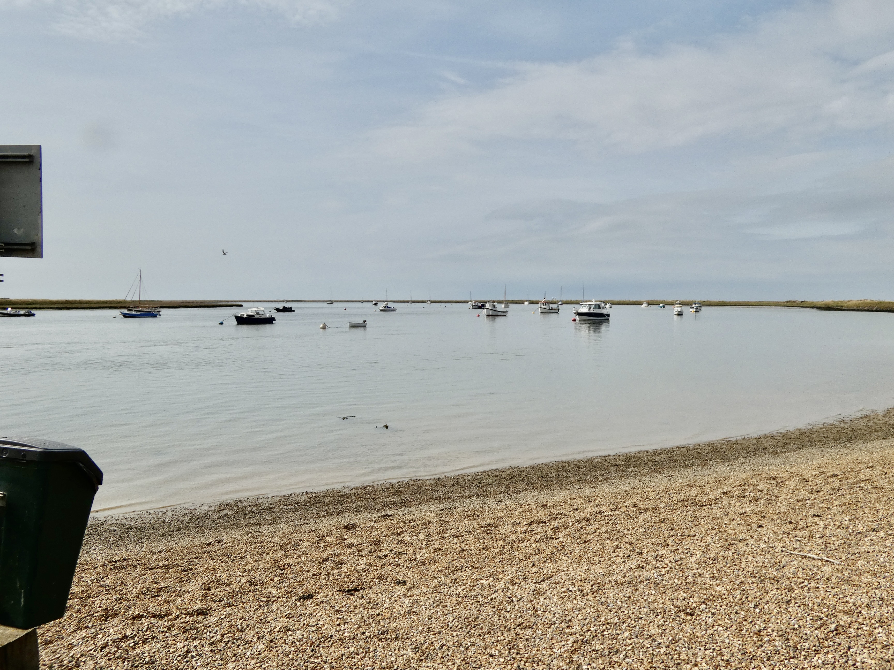
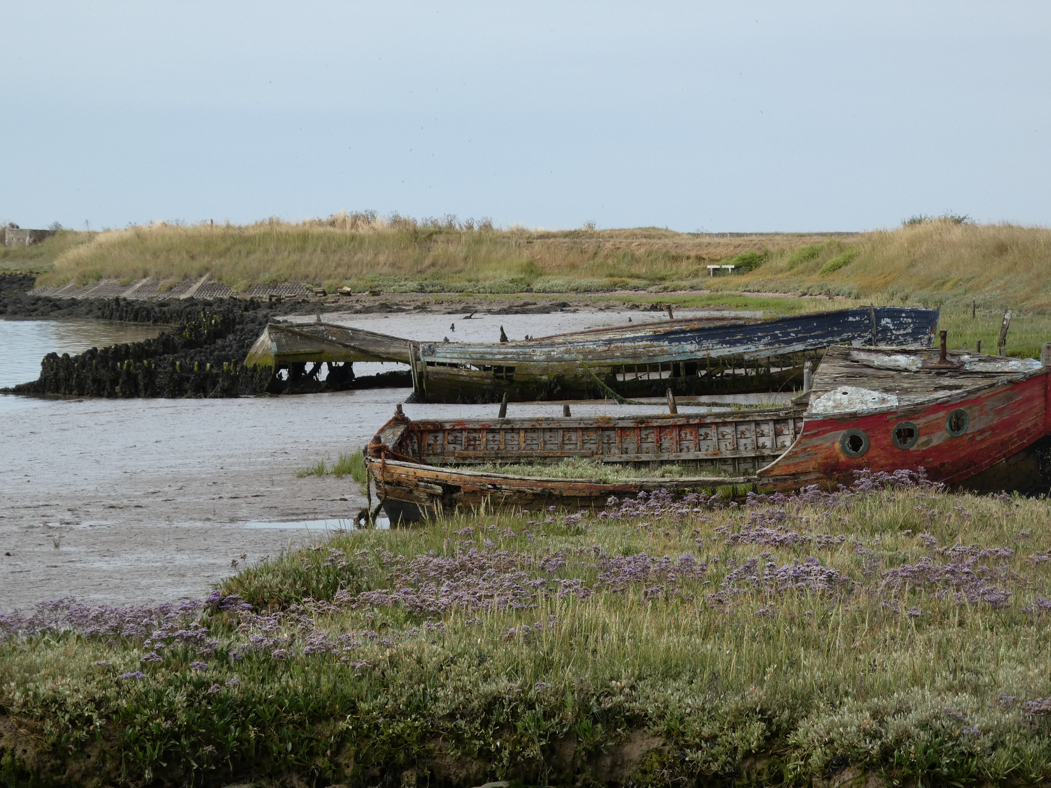
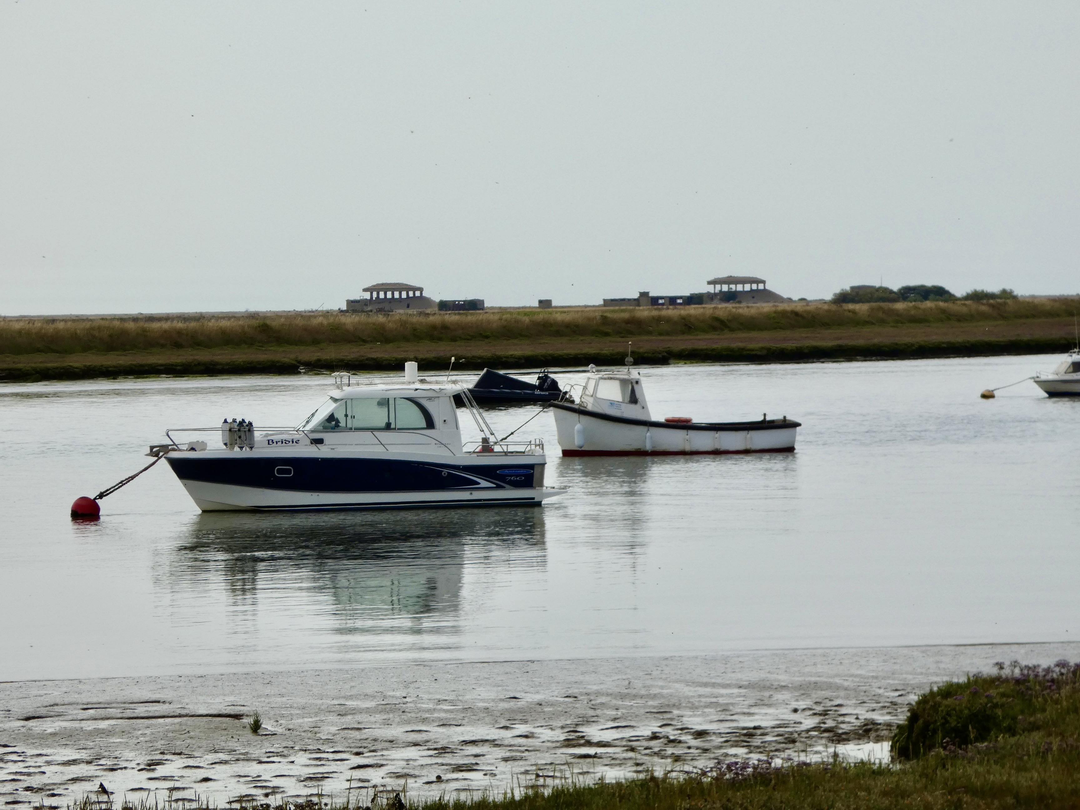
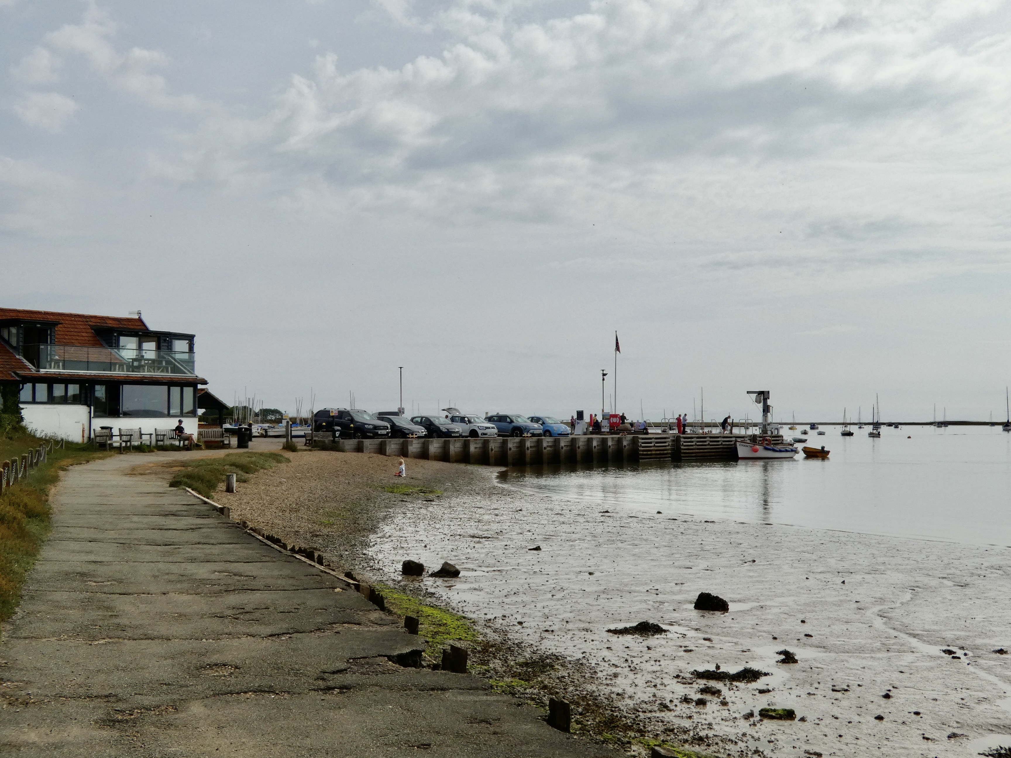
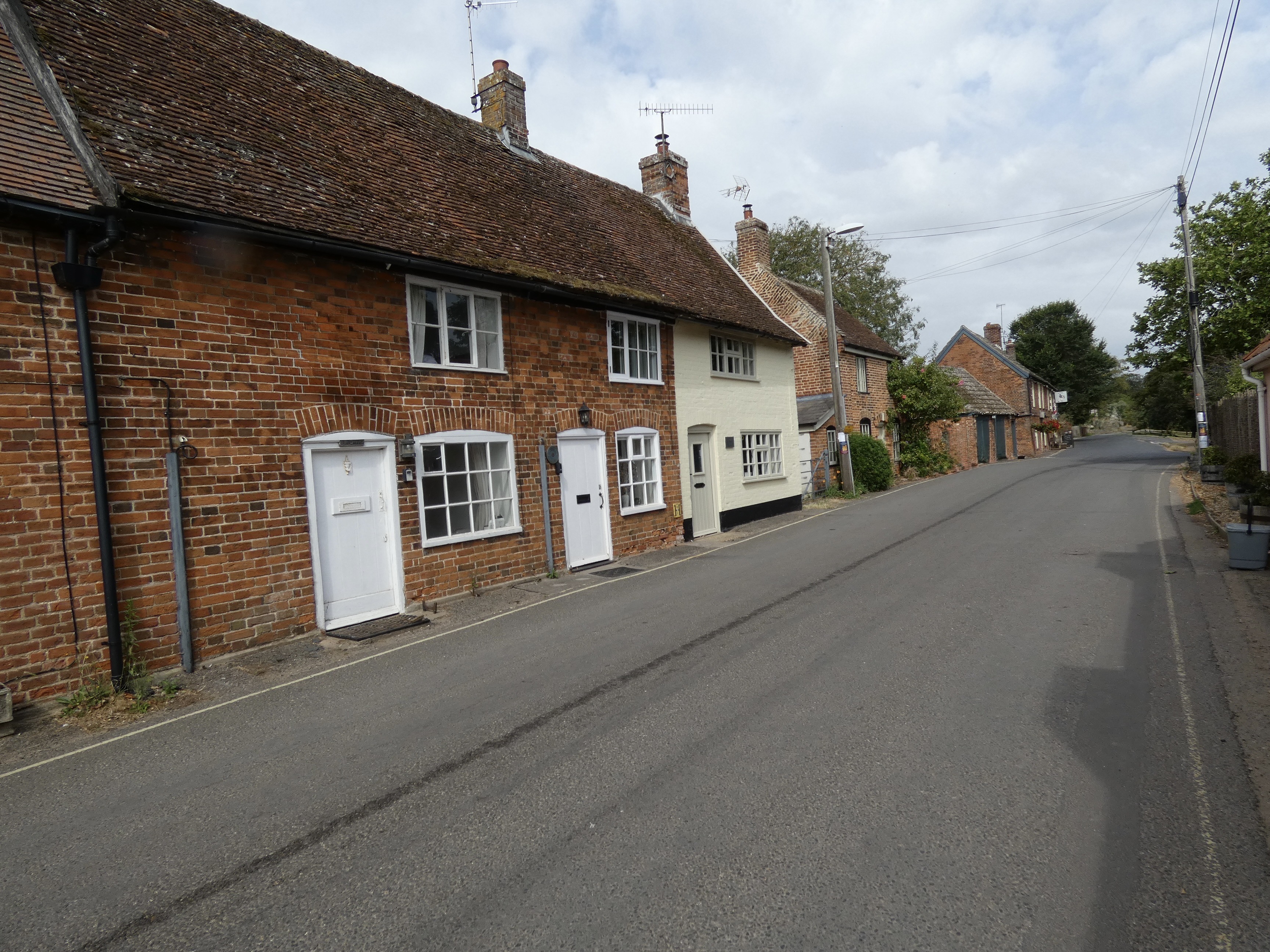
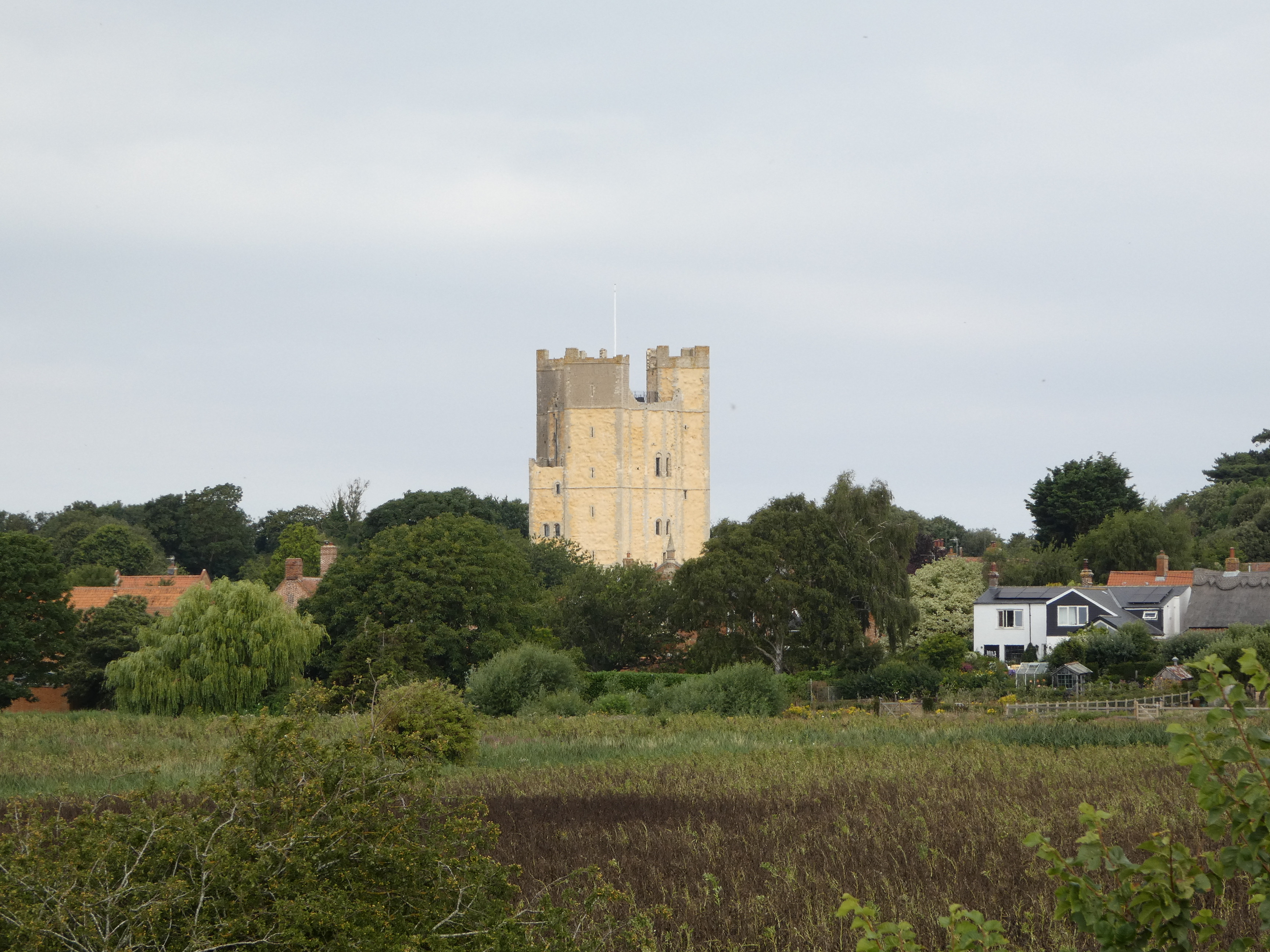
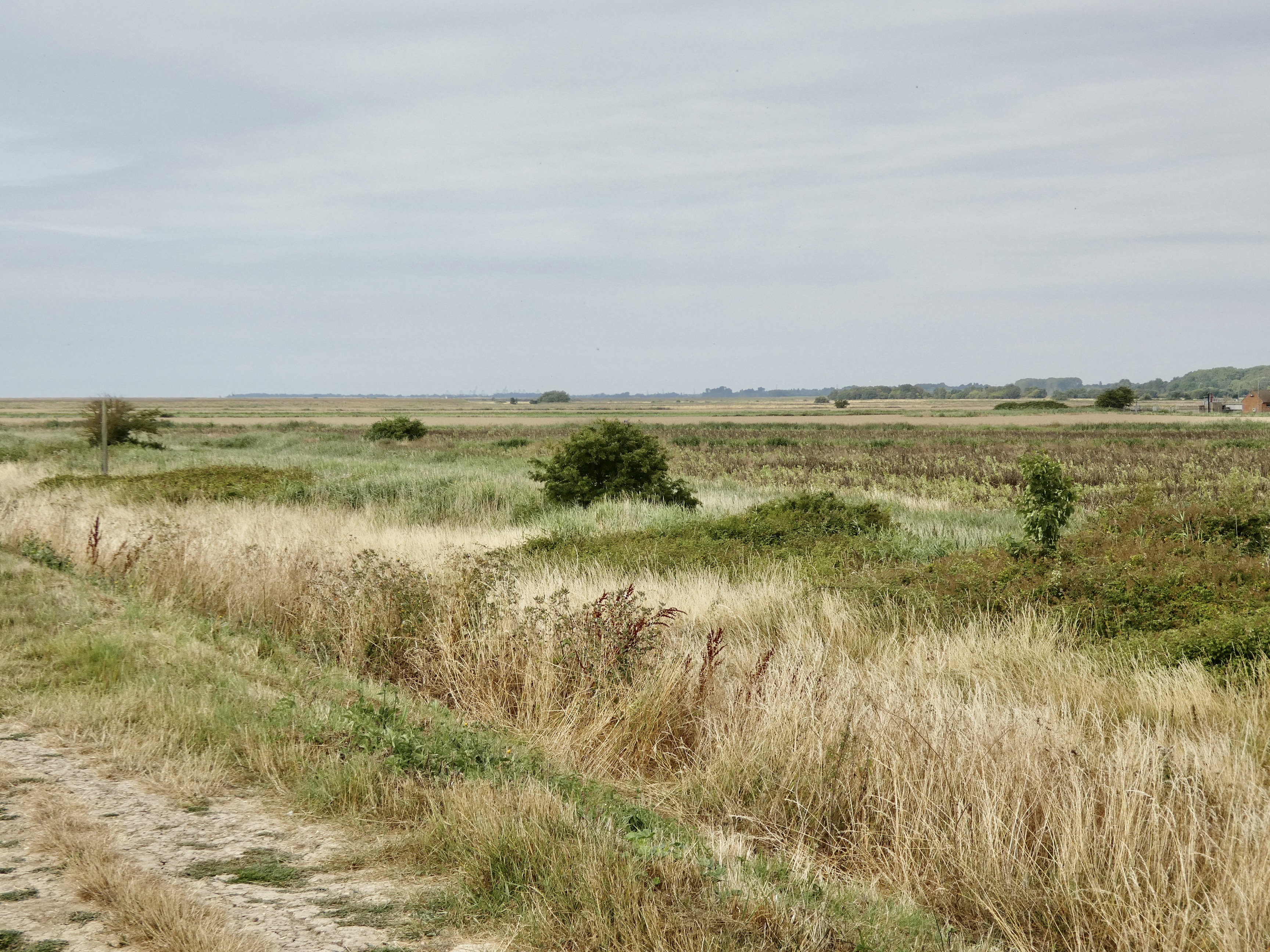
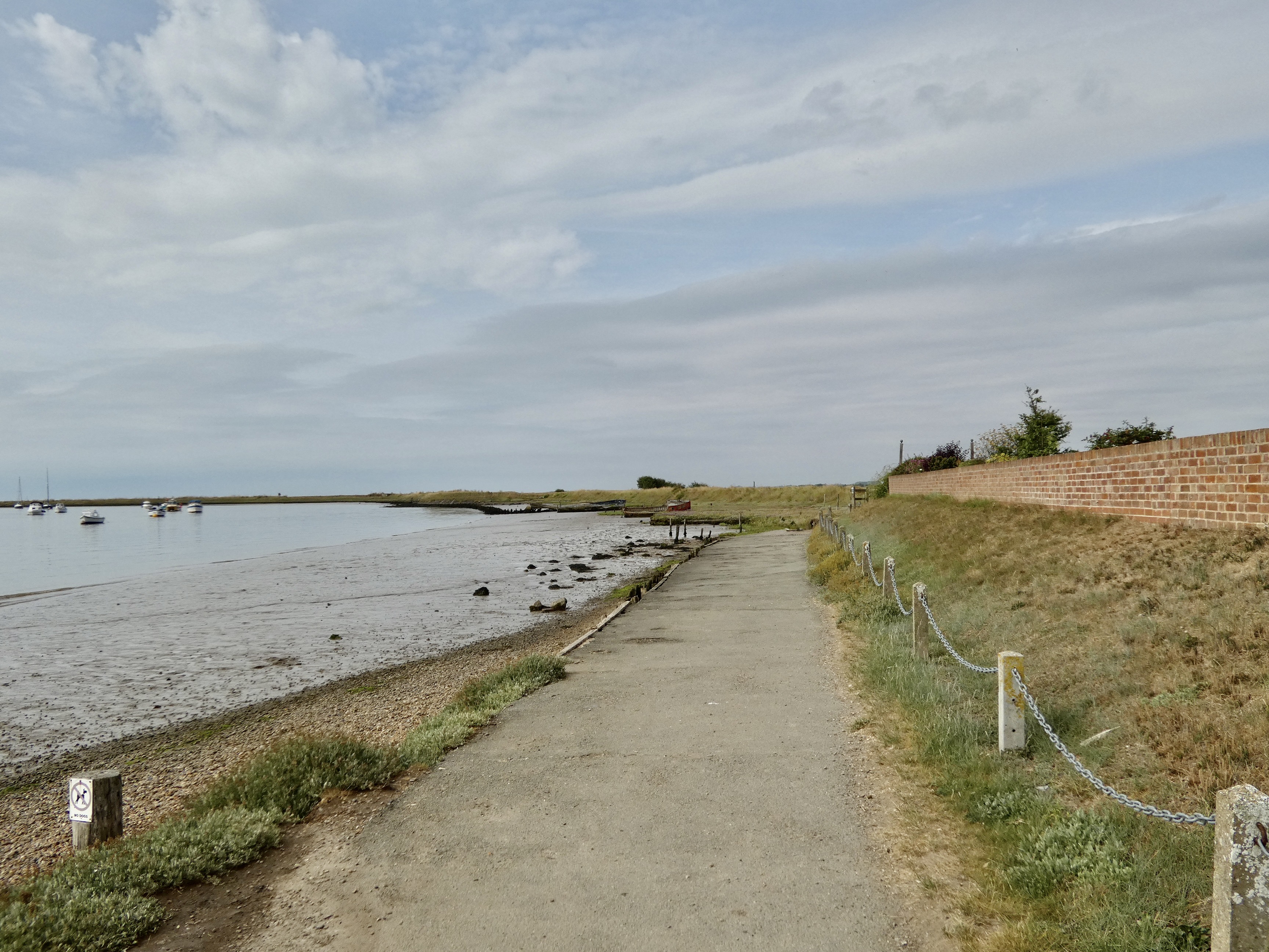
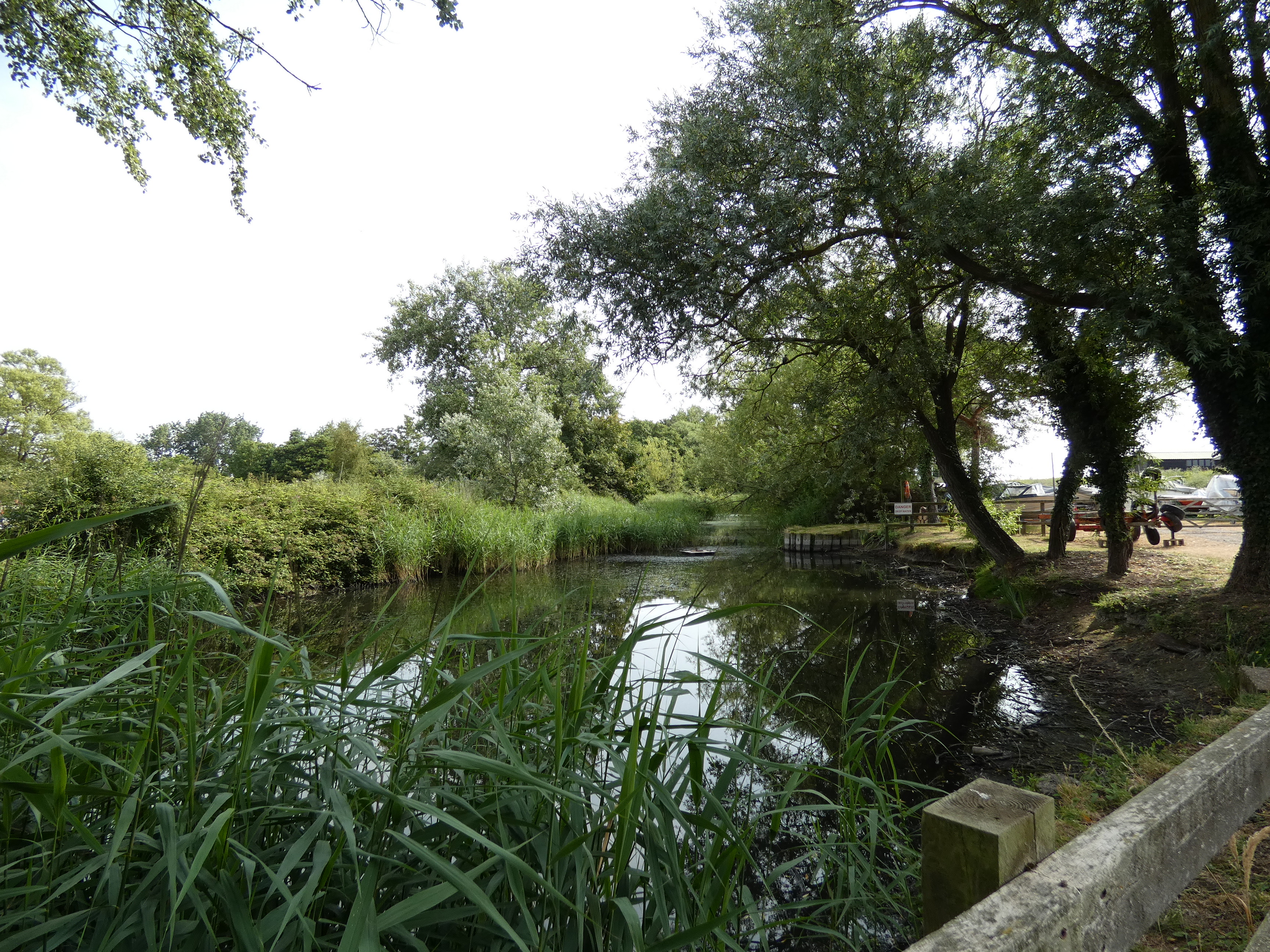
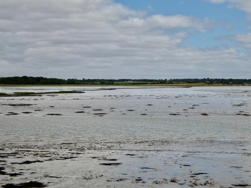
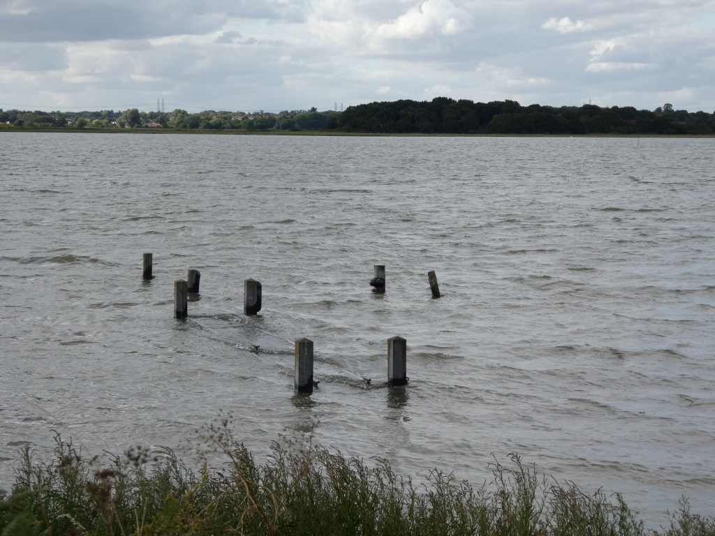
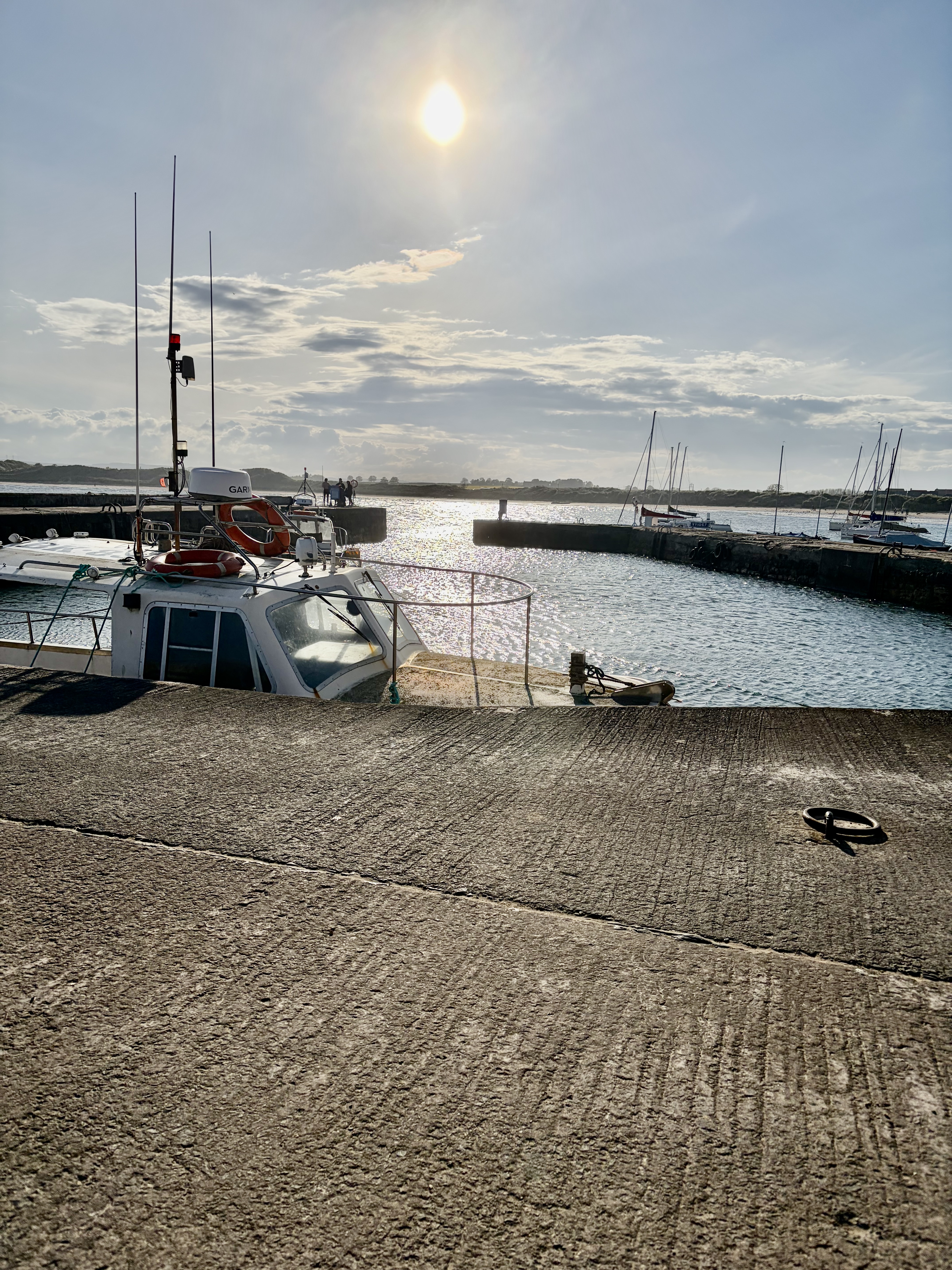
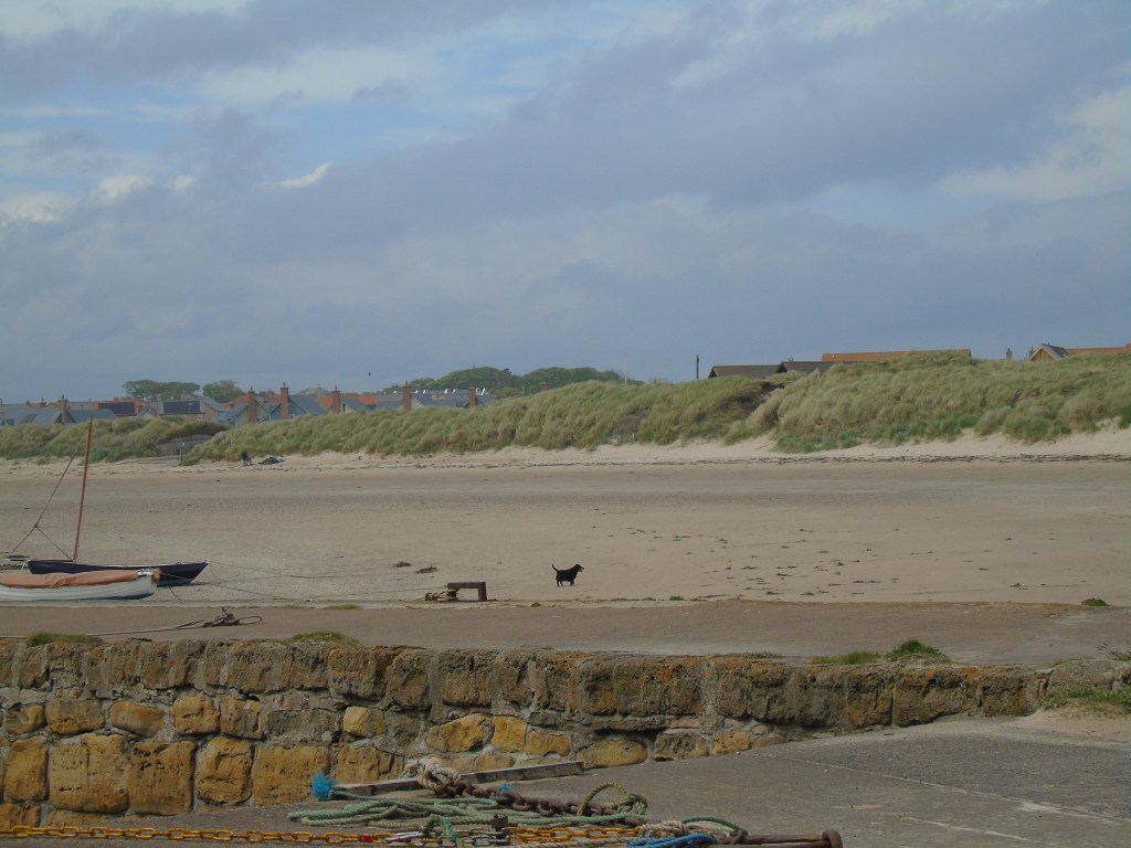
Orford is a lovely fishing village on the coast. The village centre is set back from the harbour and quay and reached by going down Quay Street. From the quay you can travel by National Trust ferry to Orford Ness National Nature Reserve. More information about Orford Ness and other links can be found at visit east england. We decided to just visit the harbour and quay and not the village on this occasion.
When researching my family history, I found out that my maternal grandmother’s family originally came from East Suffolk around the Woodbridge area. Over the years we have visited a number of the villages and towns where they lived and I will publish information and photos of this in the Churches and Graveyards page.
We also visited just some of the villages and towns and photos and information on these will be on the Suffolk section of the Places page.
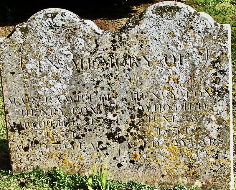
We went to Chillesford to visit the church and graveyard. My 5x Great Grandparents lived here all their married life. He was Henry Fox and was born in 1756 in Levington, Suffolk and his wife was Martha Bantoft, born in 1762 in Trimley St Martin, Suffolk. They married in 1785 in Levington and by 1787, the birth of their son John, had moved to Chillesford. Henry was a farm labourer and his brother and some of Martha’s relatives were living just down the road in Butley so this may have been why they moved. They had six children, John, Martha, Henry, Mary, John (the first John having died in 1796, Sarah and William. Henry and Martha both died within days of each other in June 1834 and were buried on the same day 28 June in St Peter’s churchyard.
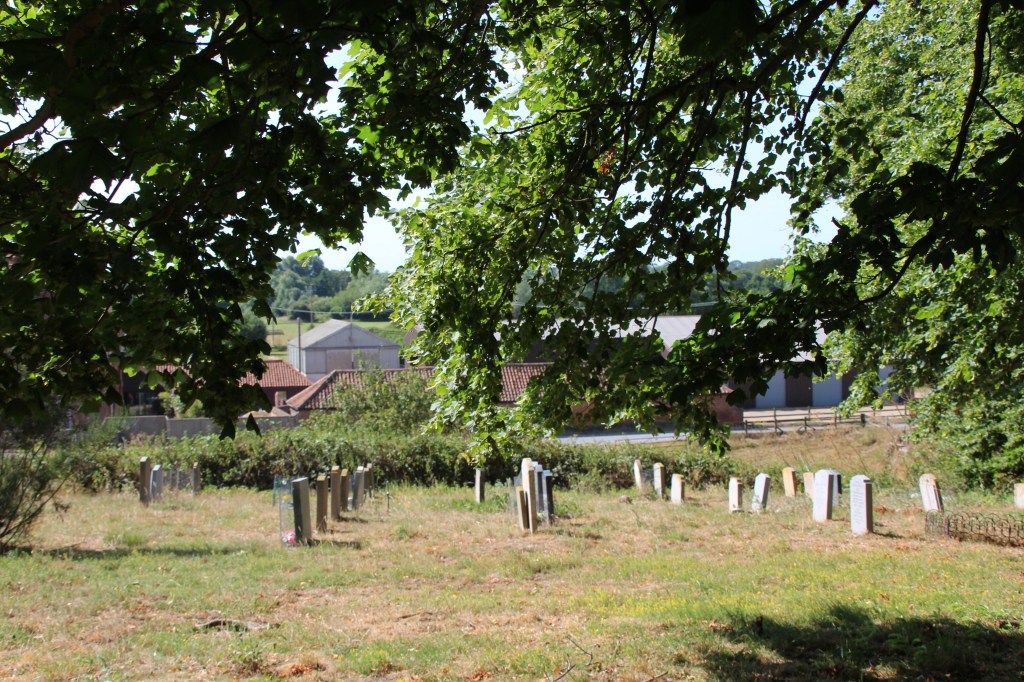
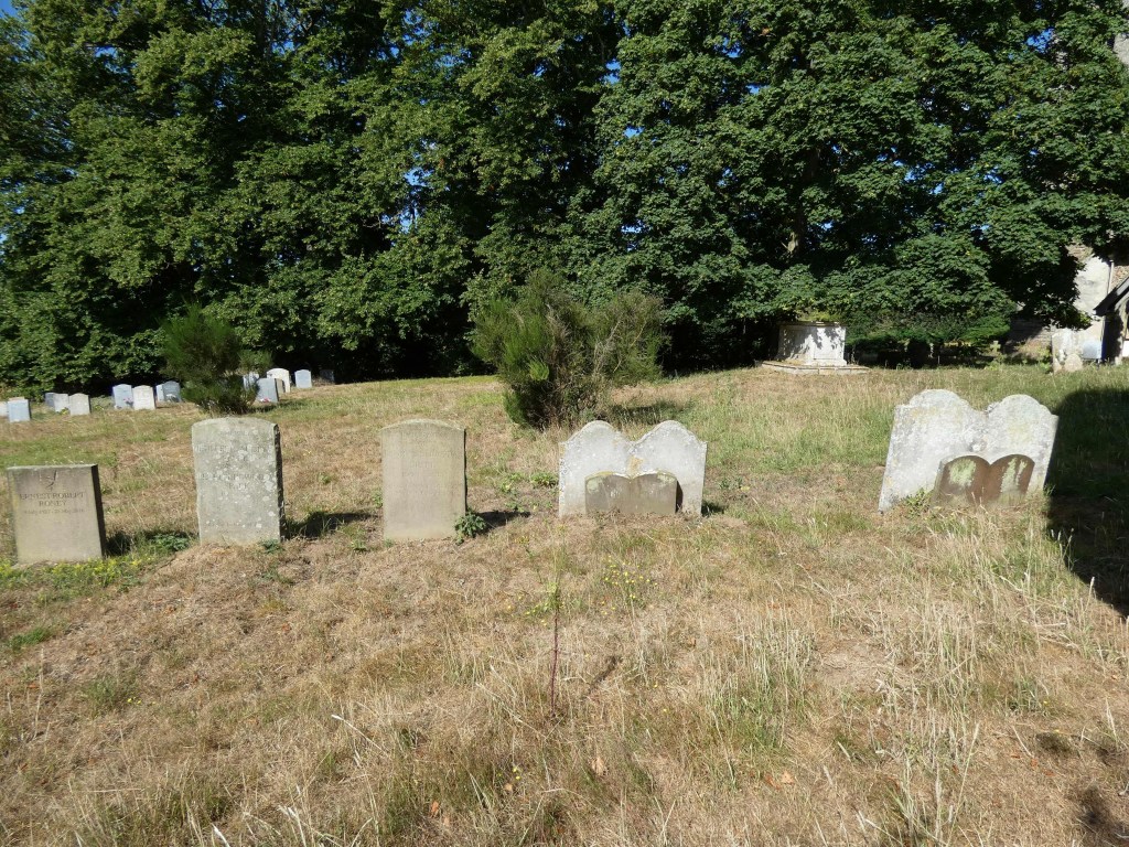
When we went to Suffolk, a few years ago, we went to St Peter’s church and found that a lot of the graves were not there anymore. But, very surprisingly, we found Henry and Martha
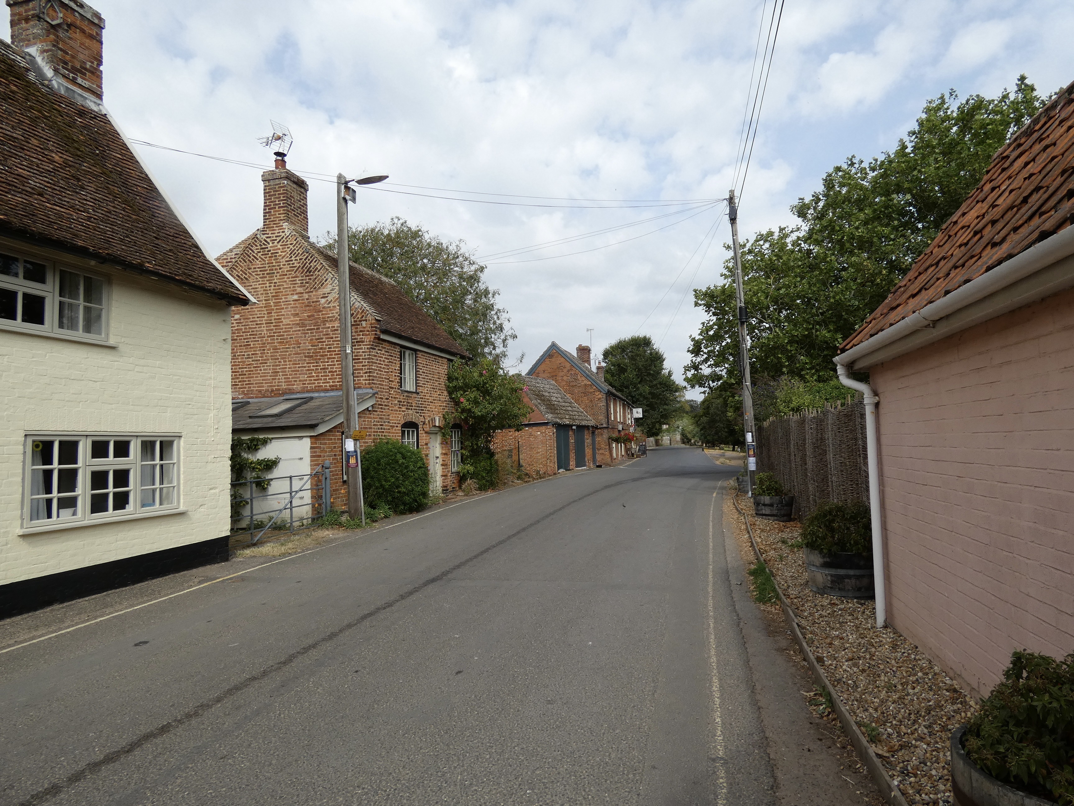
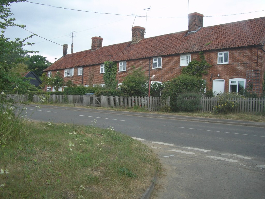
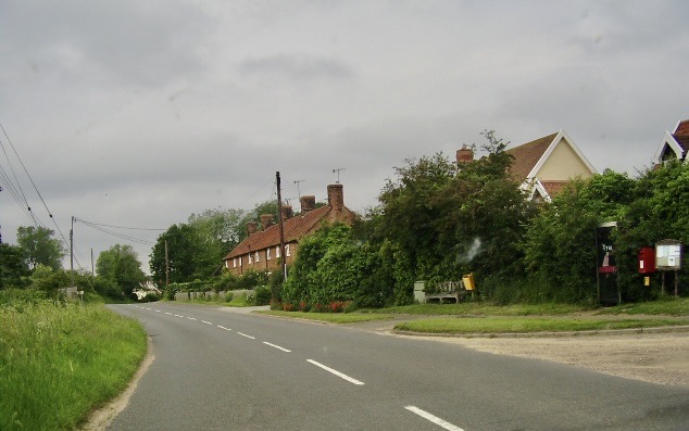
Henry and Martha lived in cottages in The Street. Some photos of the Street below. I will go into more detail about their family another time in the Family History Articles Section.
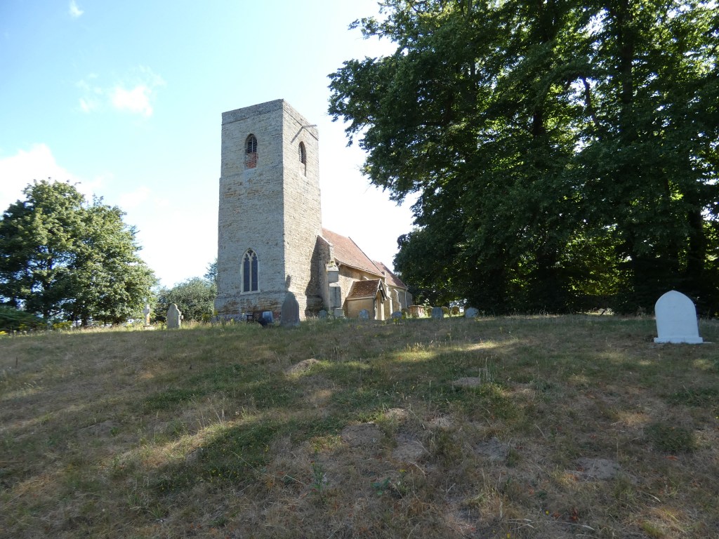
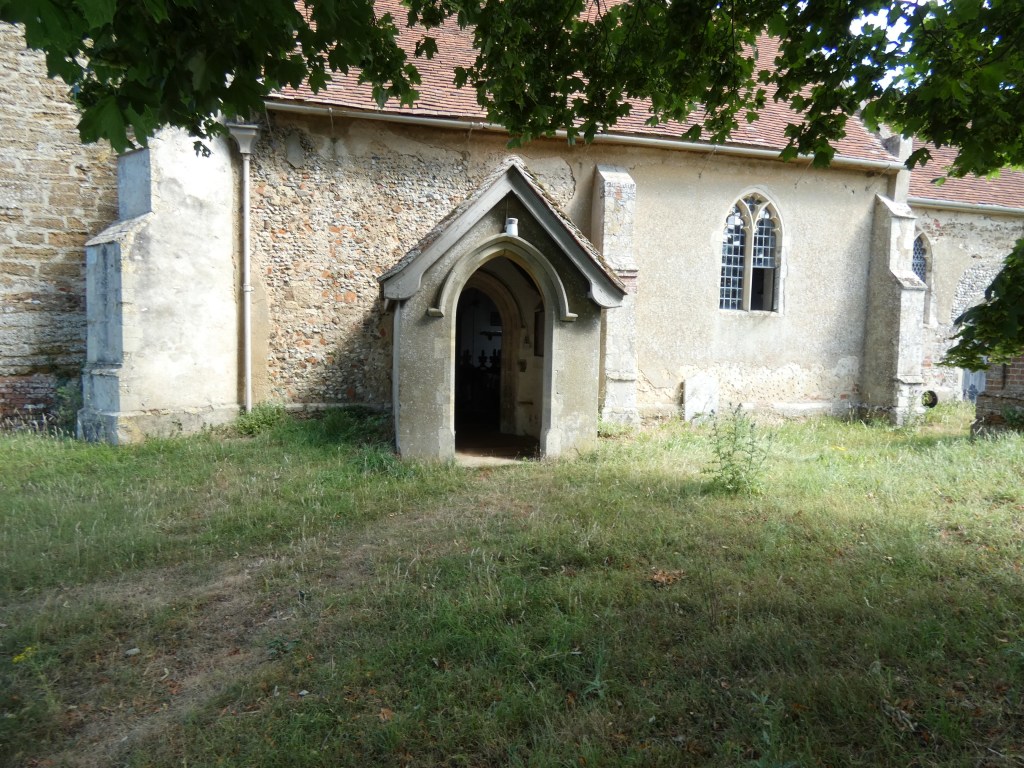
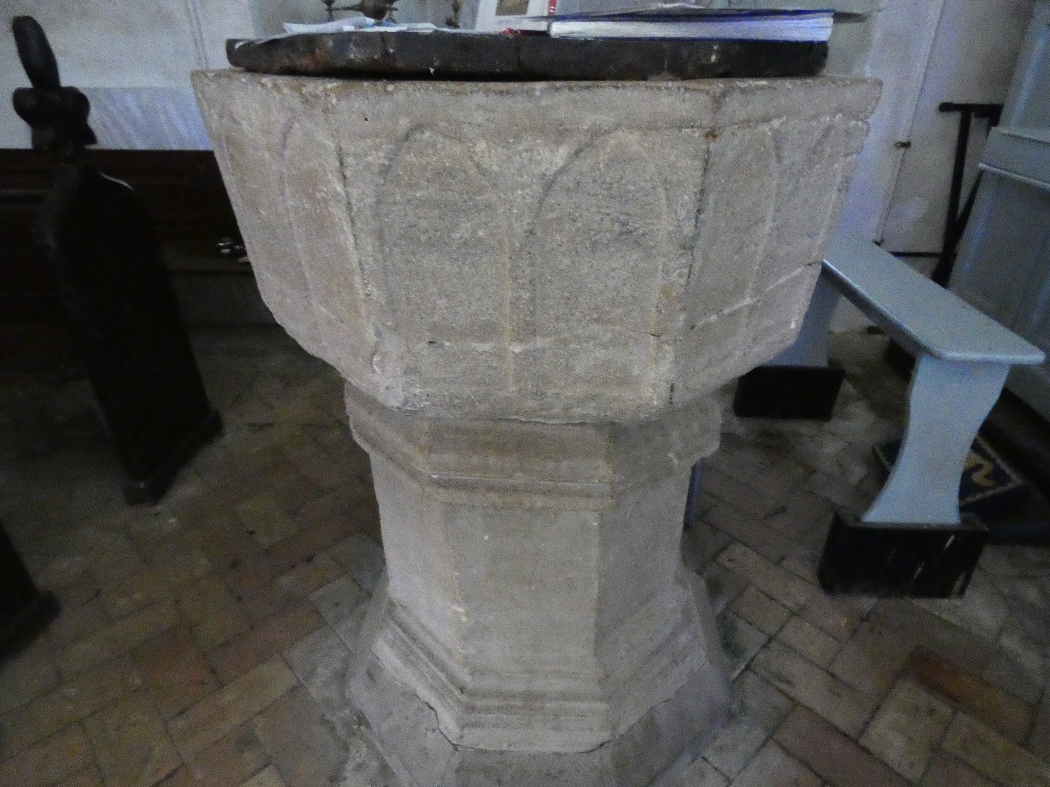
St Peter’s church is set back from the The Street just on the outskirts of the village. It is a small church, as are a lot of the Suffolk village churches. Chillesford was recorded in the Domeday Book as Cesfortda and there has been a church on the site since the 11th Century but the present church was constructed in the 14th Century. The interior was renovated over the centuries, mainly in the 19th. It has a tower made of coralline crag and is one of only two churches in England made of this. The other being in Wantisden which is just down the road.
Henry and Martha Fox grave is far right
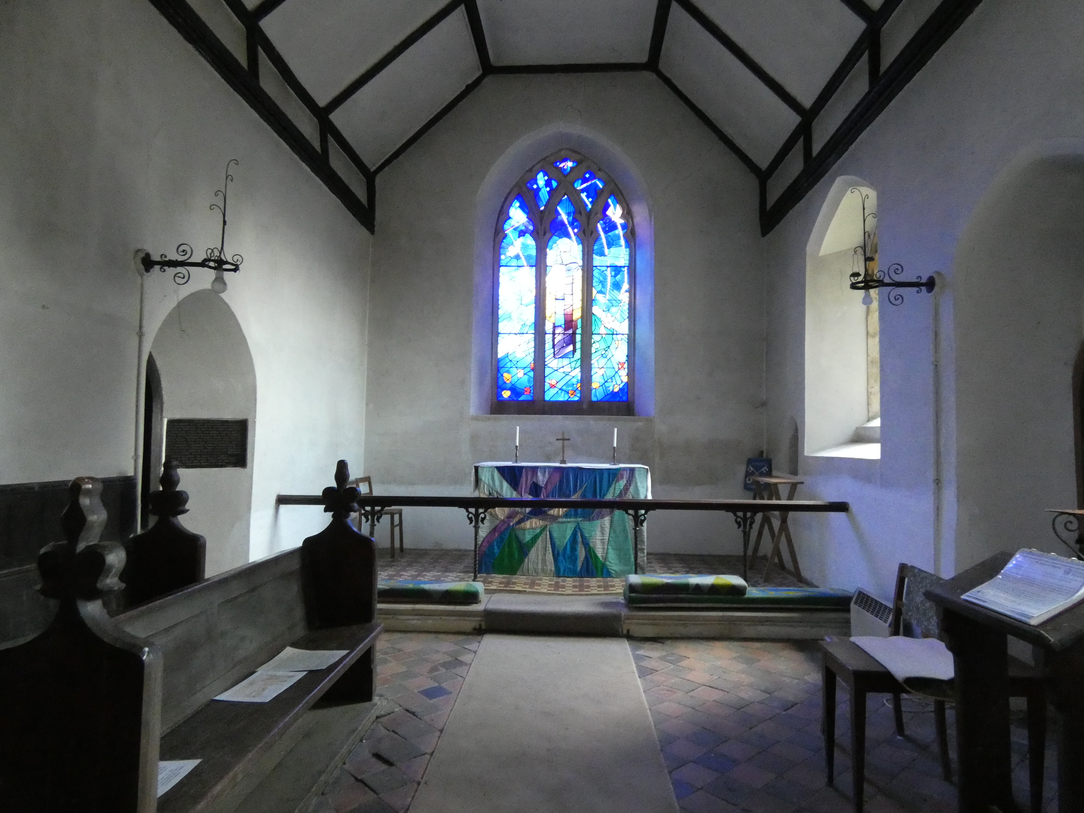
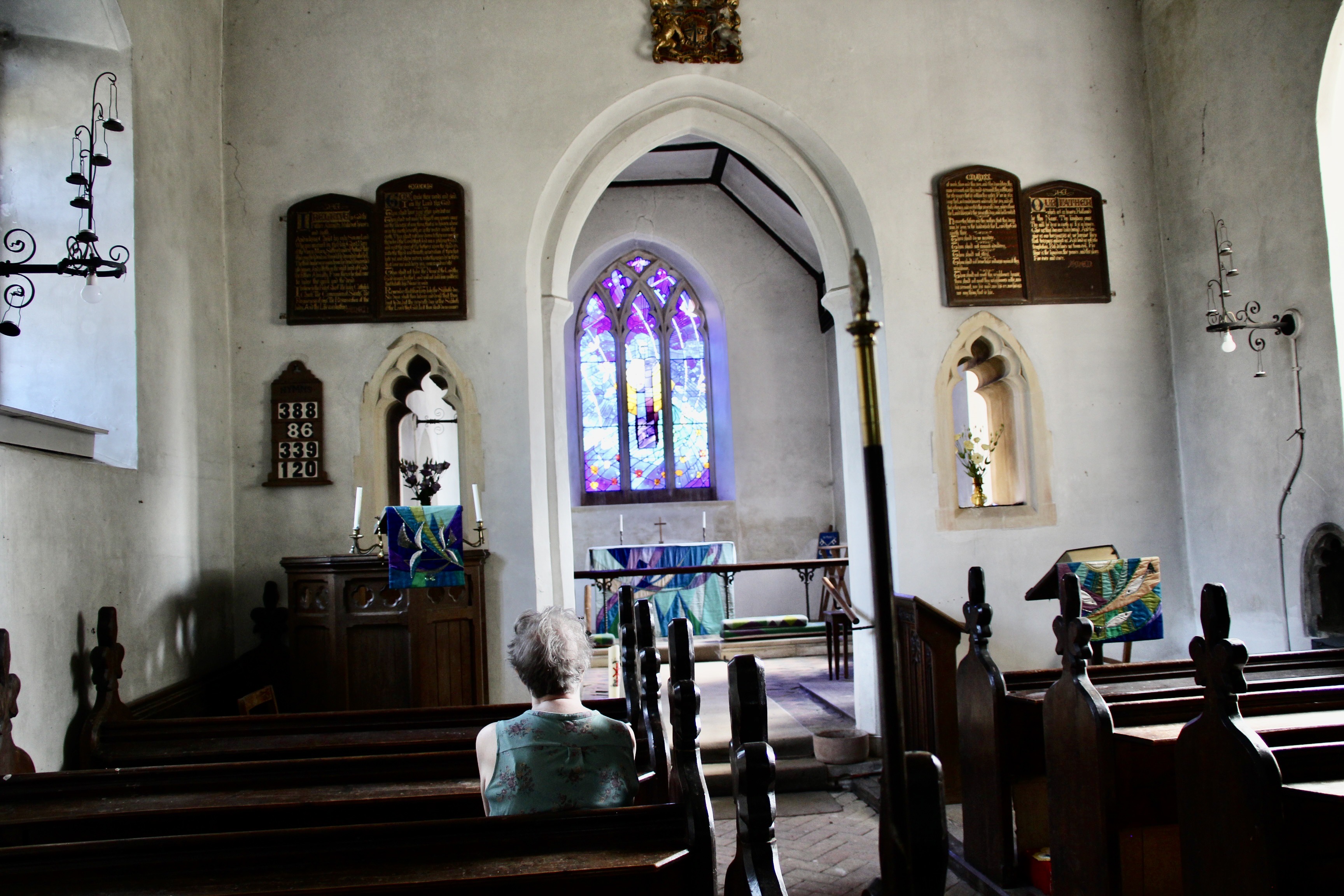
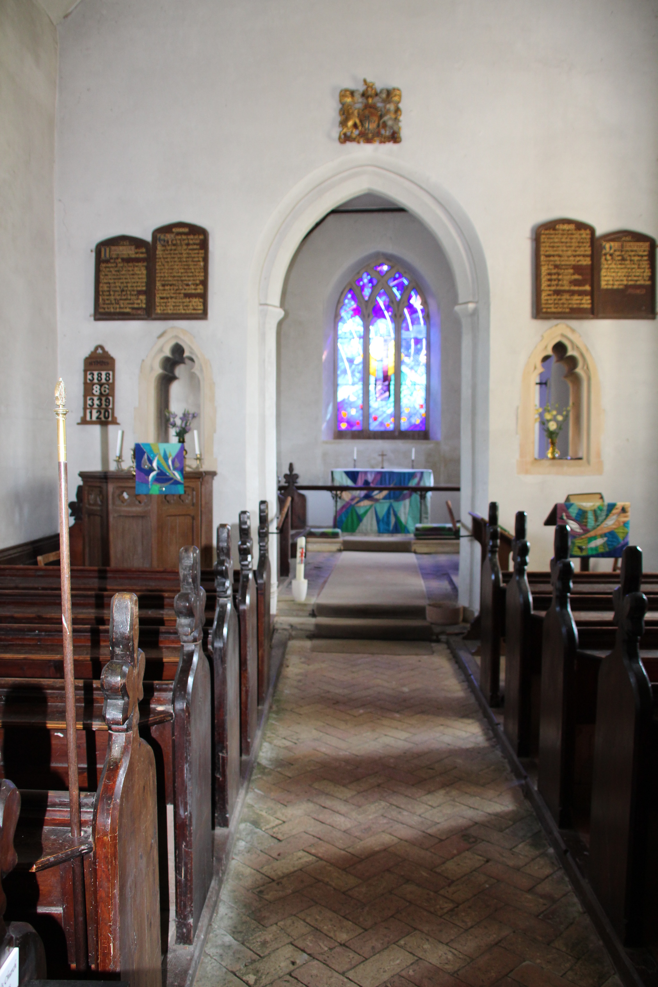
The interior is lovely and peaceful. I sat in one of the pews thinking about my relaives being baptised, married and buried here. It was a strange feeling but very peaceful.
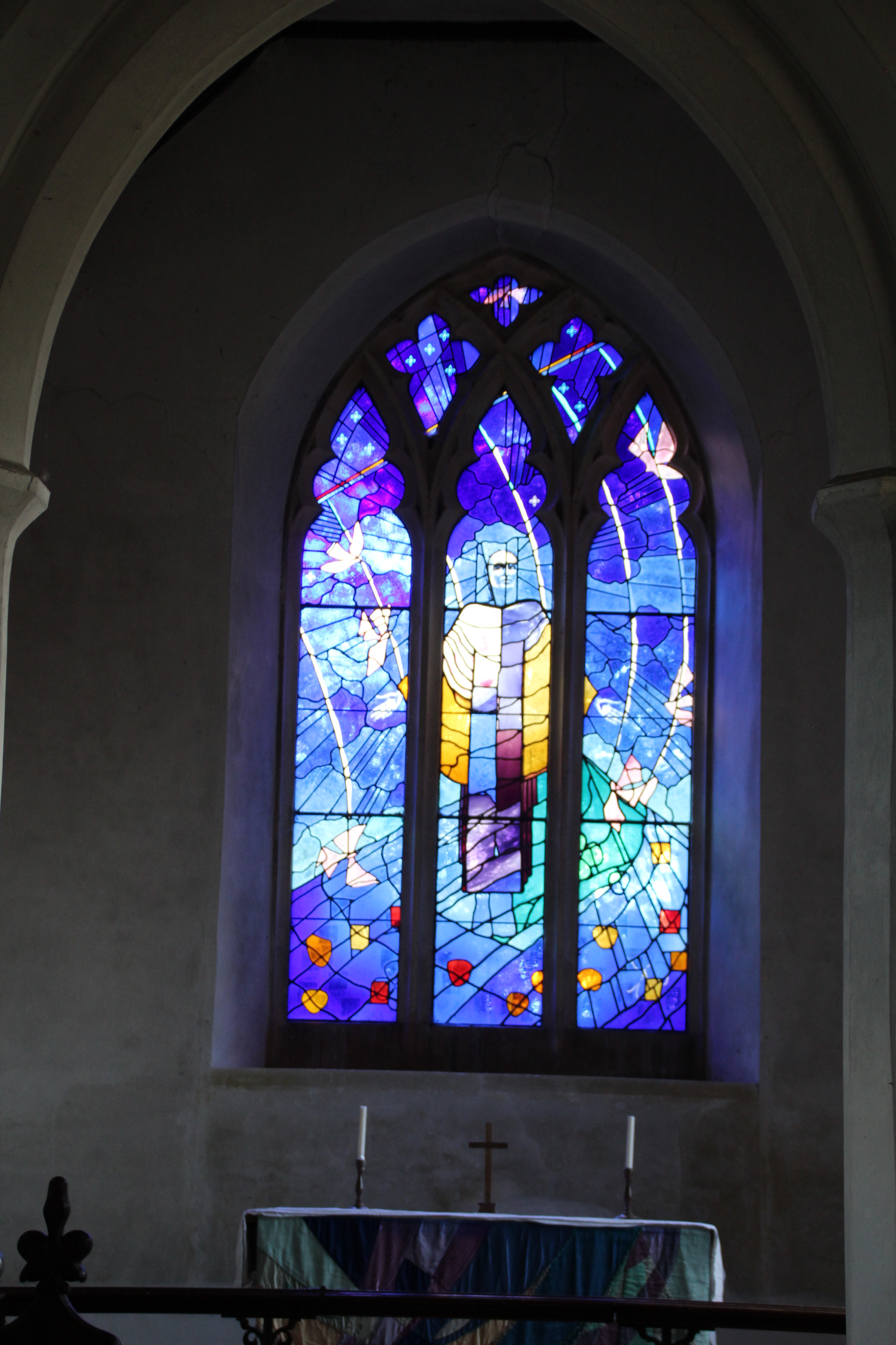
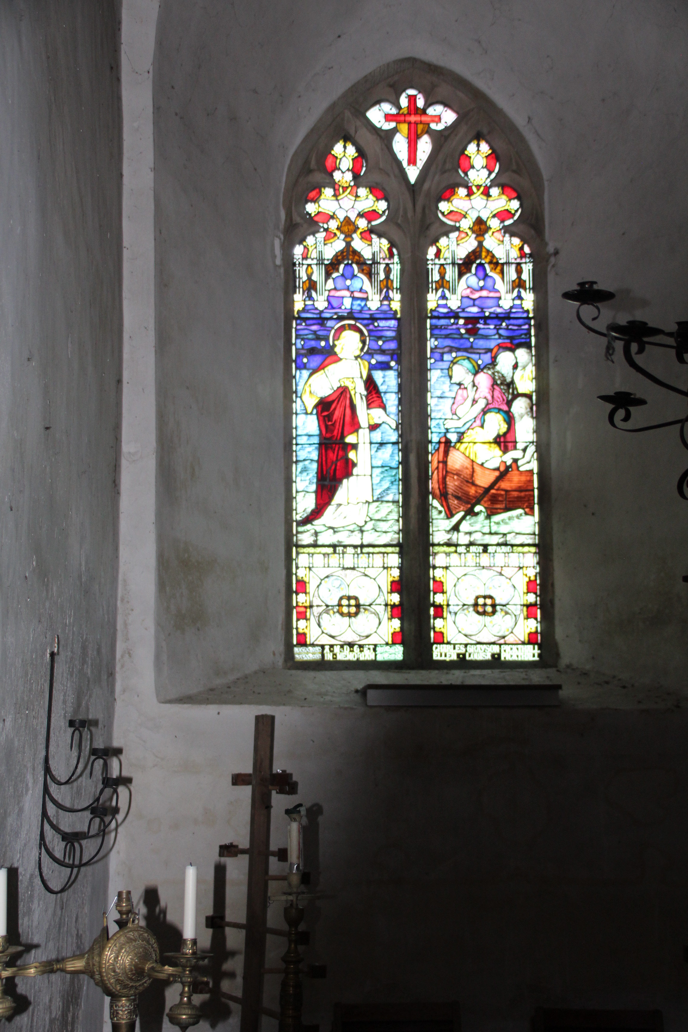
The main feature of the interior is the window above the altar, depicting a risen Christ above meadows and fields by the artist Surinder Warboys which dates from 1990. Apparently it replaced an 19th century window by Christopher Gibbs depicting gospel scenes which was destroyed. The other window features Christ walks on Water by Edward Frampton (1865).
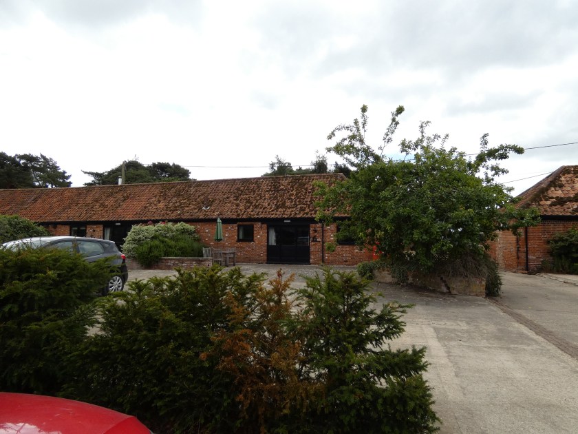
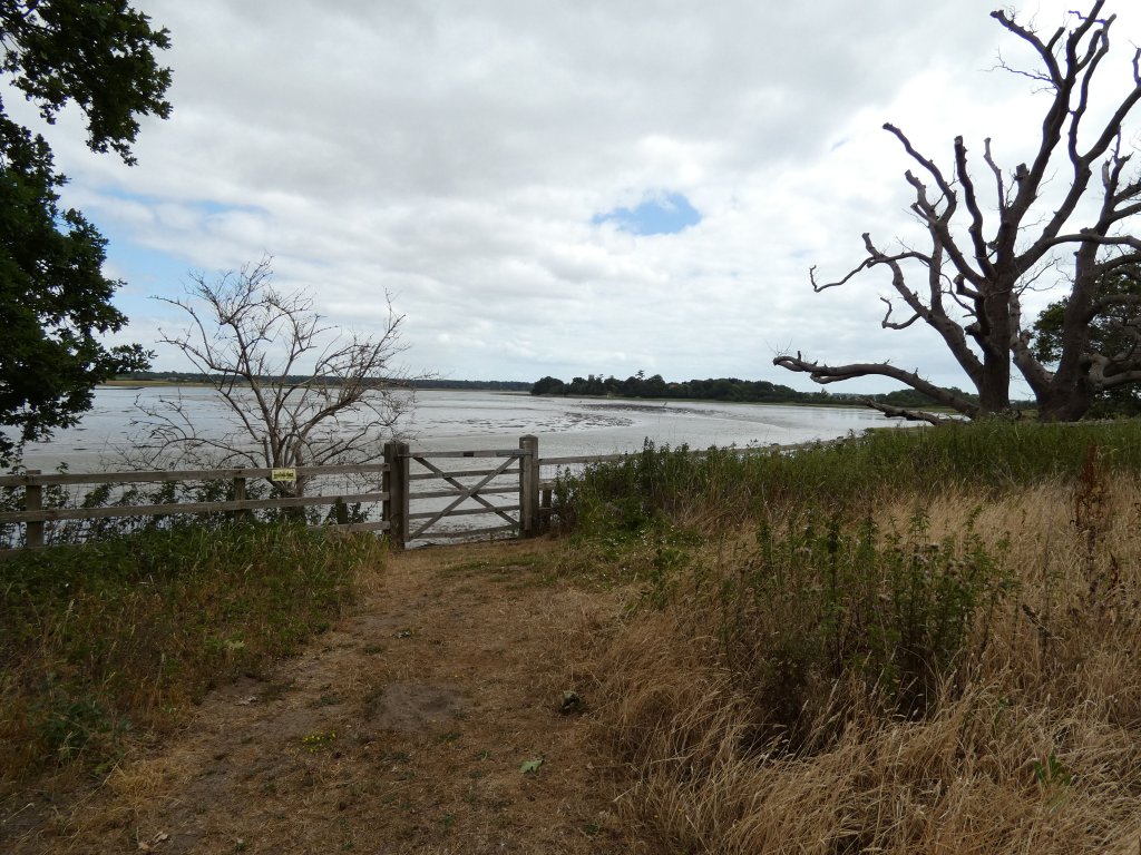
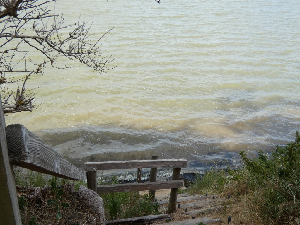
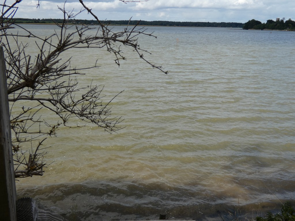
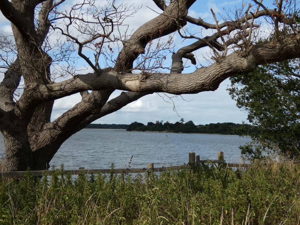
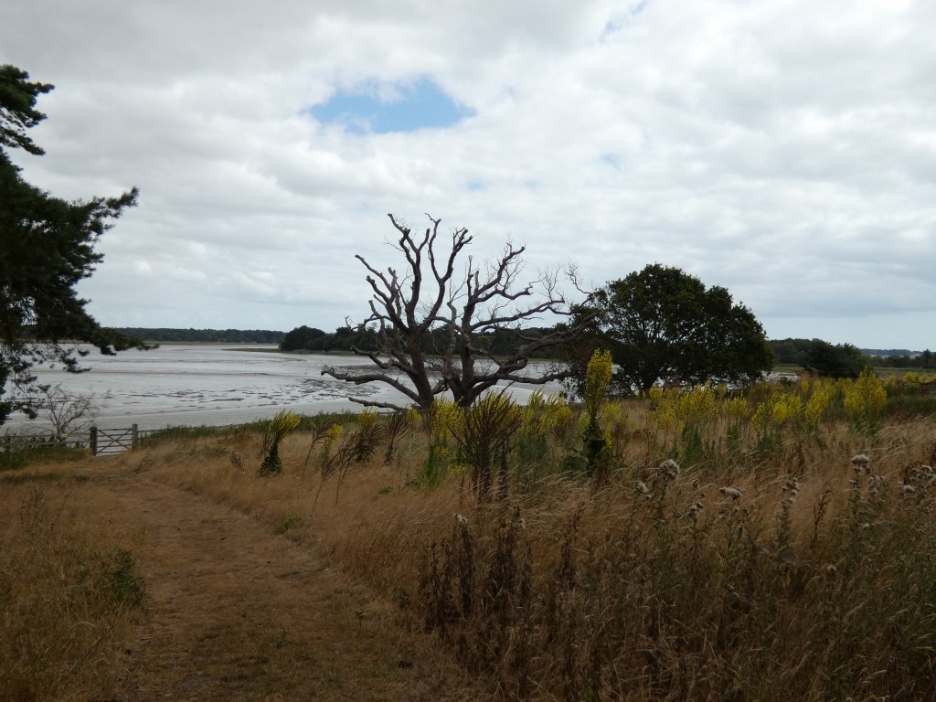
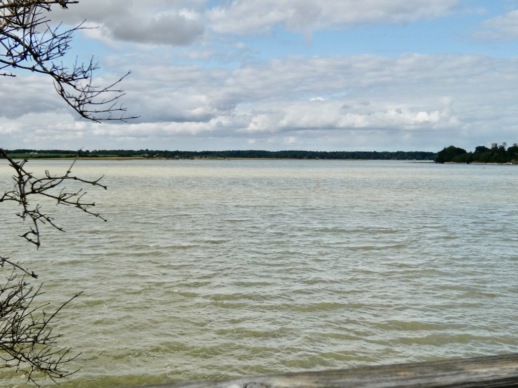
In Suffolk we stayed at Iken Barns near Iken. This a collection of converted victorian farm buildings on the River Alde between Tunstall and Orford. It wa a mixture of holiday and residential cottages and a footpath led down to the River Alde with wonderful views across the river towards Leiston. The River was tidal led past Iken towards the North Sea. We stayed in Farriers Cottage, a two bedroom converted barn.
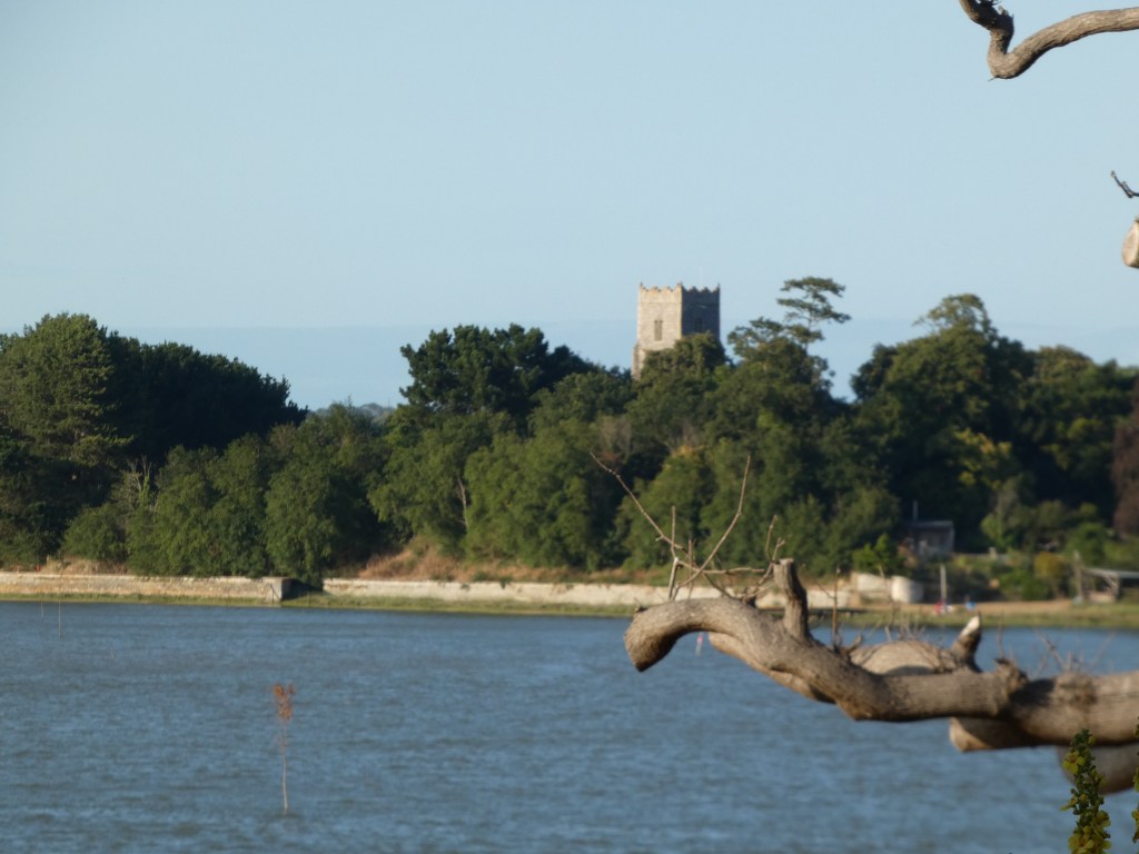
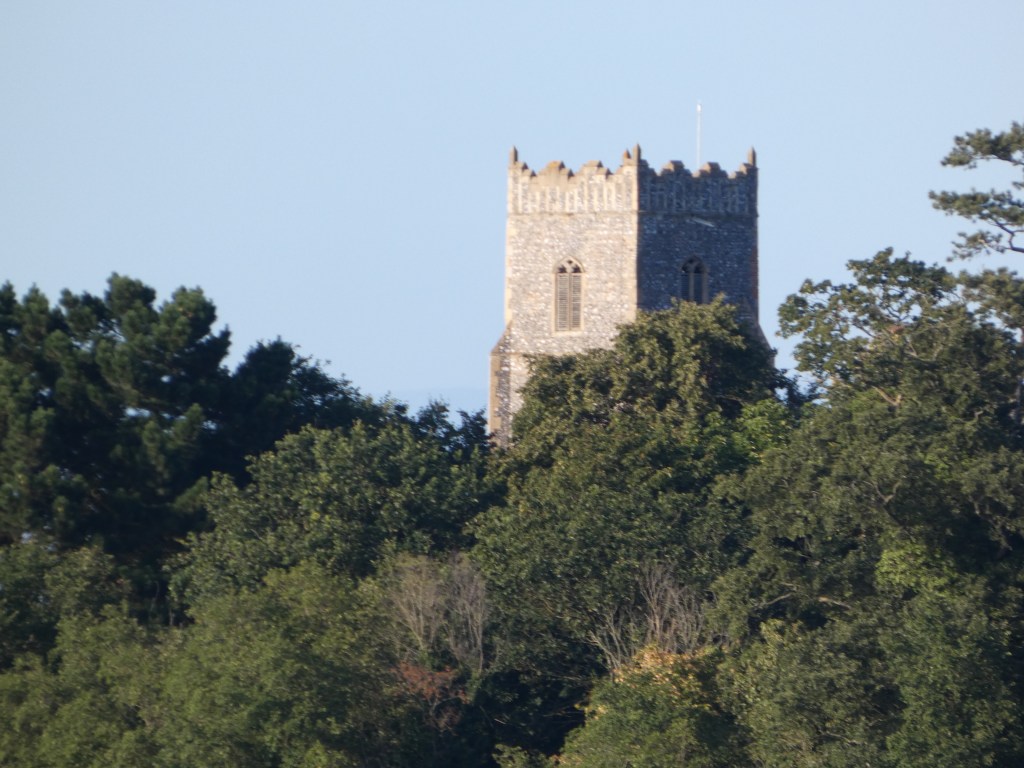
It was the perfect base for travelling to the places we wanted to visit. As I said about 100 yards form the cottages was a path that led to the River Alde, a tidal river which goes from Snape Maltings around the coast until it reaches the sea just south of Orford. Across the river is Aldeburgh, famous for it’s music festival. The church at Iken, St Botolph’s can be seen above the trees. The church forms part of a pilgrims walk which starts at Snape Maltings and, at low tide, follows the banks of the river to Iken. At high tide the path takes you along the road.
A bit of background to where we went to in Suffolk.
When I started researching my family history about twenty years ago, I was sure that my family were from Lancashire and the Greater Manchester area and Middleton in particular. I did not know much about my ancestors beyond my grandparents. The only great grandparent I knew about was my grandmother’s father who I knew as Grandad Fox. I must have met him a few times as he lived in Middleton but he died when I was about nine years old. I knew stories about him such as his wife died just after giving birth to my grandmother and that he remarried someone from Wales after the First World War. I didn’t know my great grandmother’s name or family and only knew his second wife as t’other mammy. She died a couple of years before I was born. So I decided to look into Grandad Fox’s ancestors as a starting point on my family history research. My mum had his death certificate and so I found his name was Charles James Fox and he was born in about 1884.
At the time I started my family history research there was very little in the way of records on-line so it meant sending off for certifcates or going to libraries for information. The only census on-line at that time was the 1901 census and I found him living with his mother and stepfather in Middleton, Greater Manchester. His birthplace, however, was given as Tamworth, Staffordshire (although the transciption incorrectly gave it as Farnworth). According to this census, his mother and elder sister were born in Liverpool, his stepfather and older brother in Tamworth, one of his half brother in Wigan and the other in Middleton. As you csn imagine I was amazed and so sent off for his birth certificate to find out who his parents were. Going backwards with the censuses his father Francis was born in Tamworth but his father, also called Francis, was born in Blaxhall in Suffolk. This led to me looking into the family in Suffolk and I found that my five times Great Grandfather Henry Fox was born in 1756 in Levington, Suffolk and moved with his wife Martha to Chillesford in Suffolk. They had six children, one of which was my 4x Great Grandfather John Fox who moved to Blaxhall after his marriage to Elizabeth Rands. For various reasons they then moved to Sandbach, Cheshire (to avoid going into the Workhouse). I will elaborate more on this when I go into my family history at a later date.
The reason for this background is that we decided to go and visit the area around the coast of Suffolk where they lived and to look at records in Ipswich Records Office. We went a few times over a period of five or six years but then circumstances made it difficult to go back. This summer we finally decided it would be nice to revisit the area and the following blogs on Suffolk give a taste of where we went and what we did. Not all is family history related as we went for the coastal views as well. The posts of the churches and graveyards we visited will be posted on the Churches and Graveyards page.
The map below gives a general idea of the places we visited.
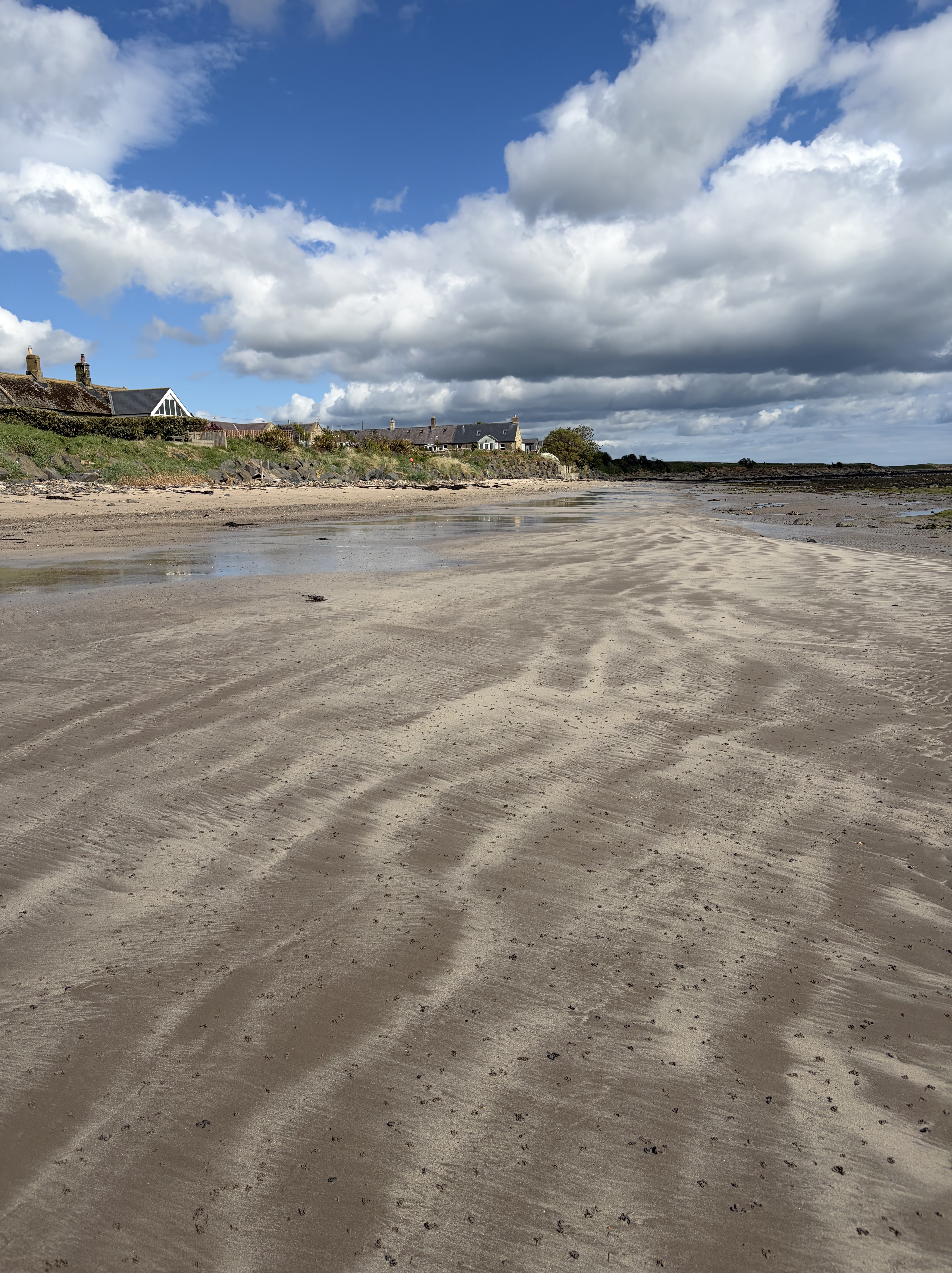
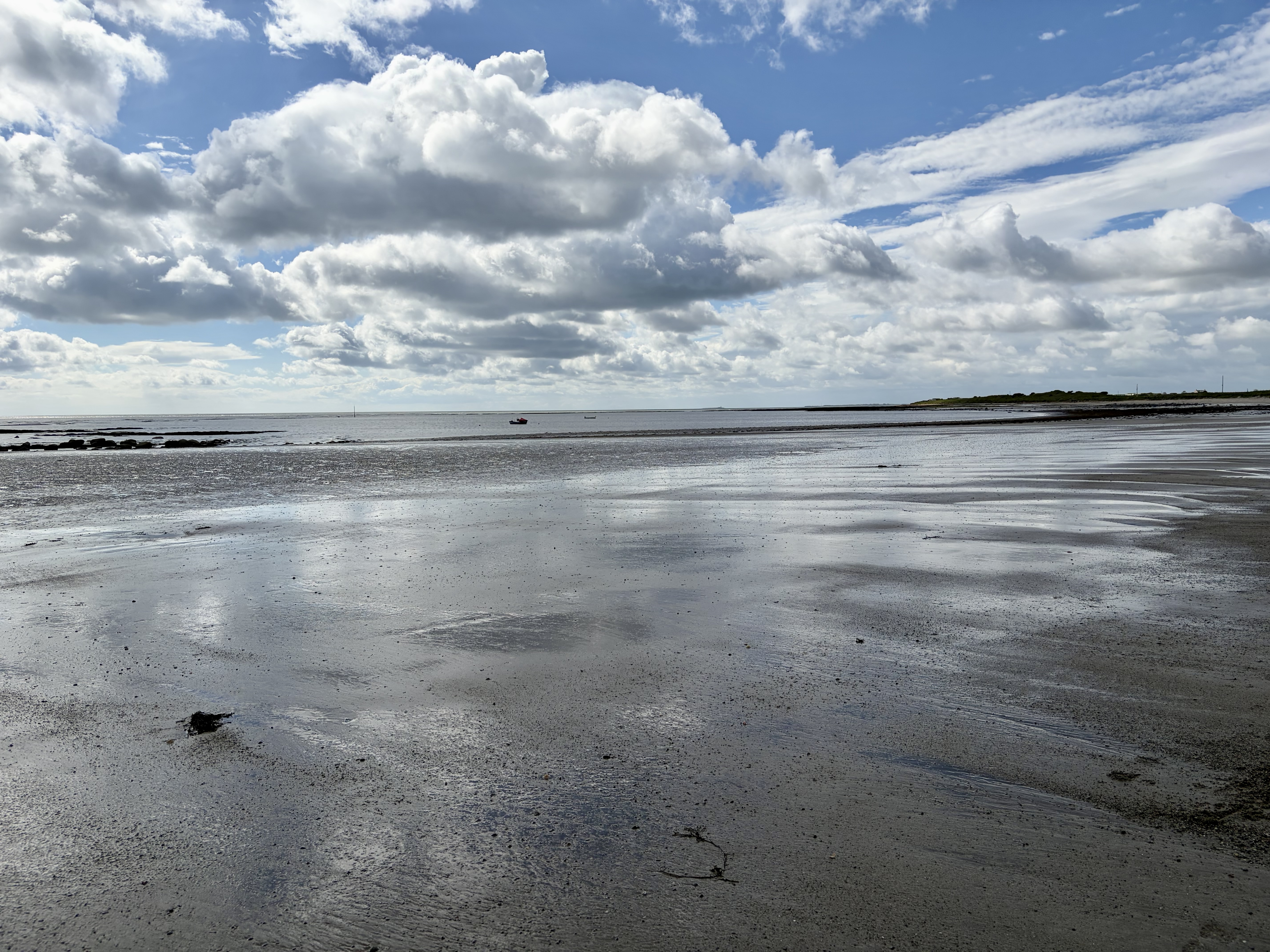
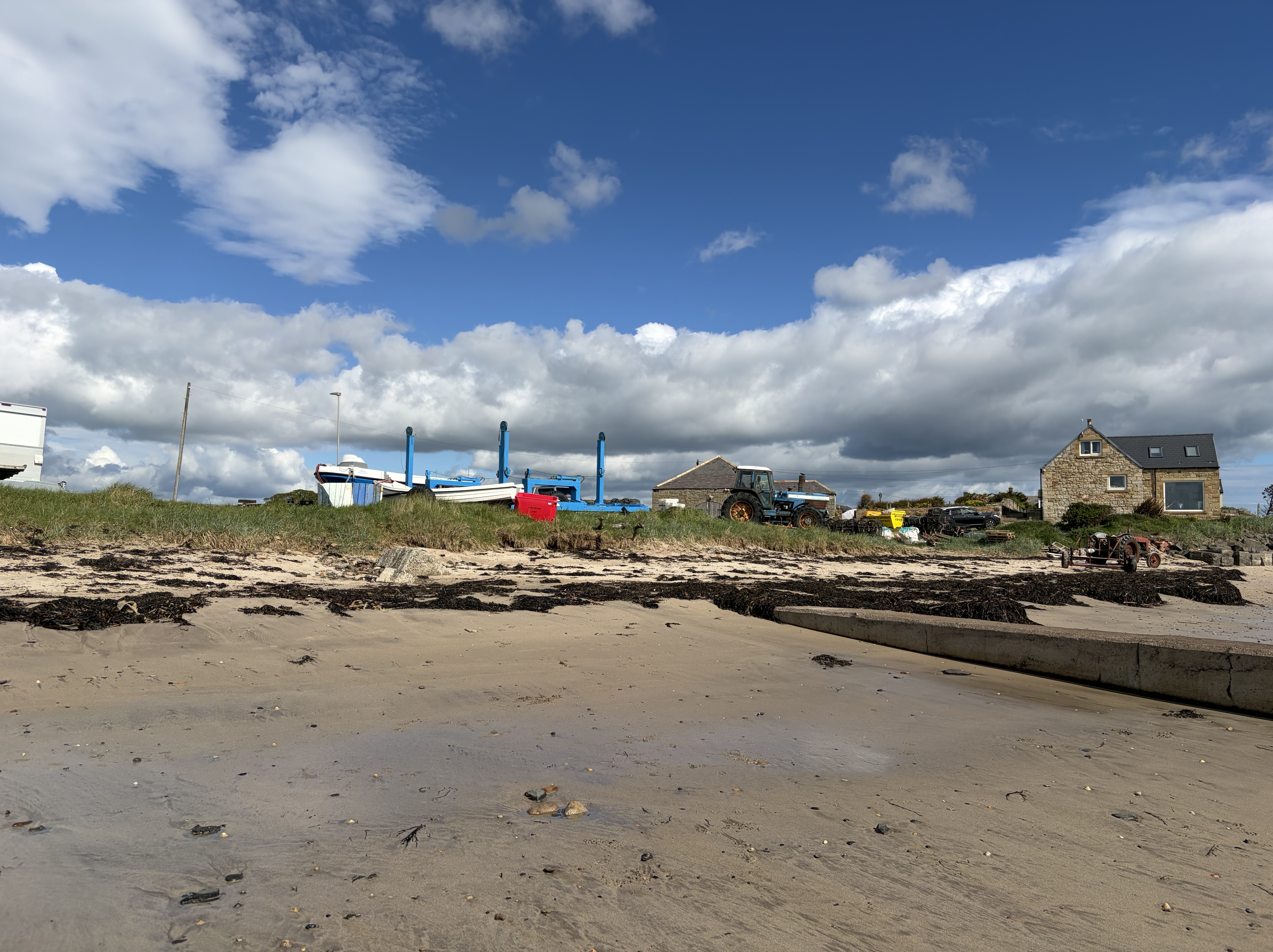
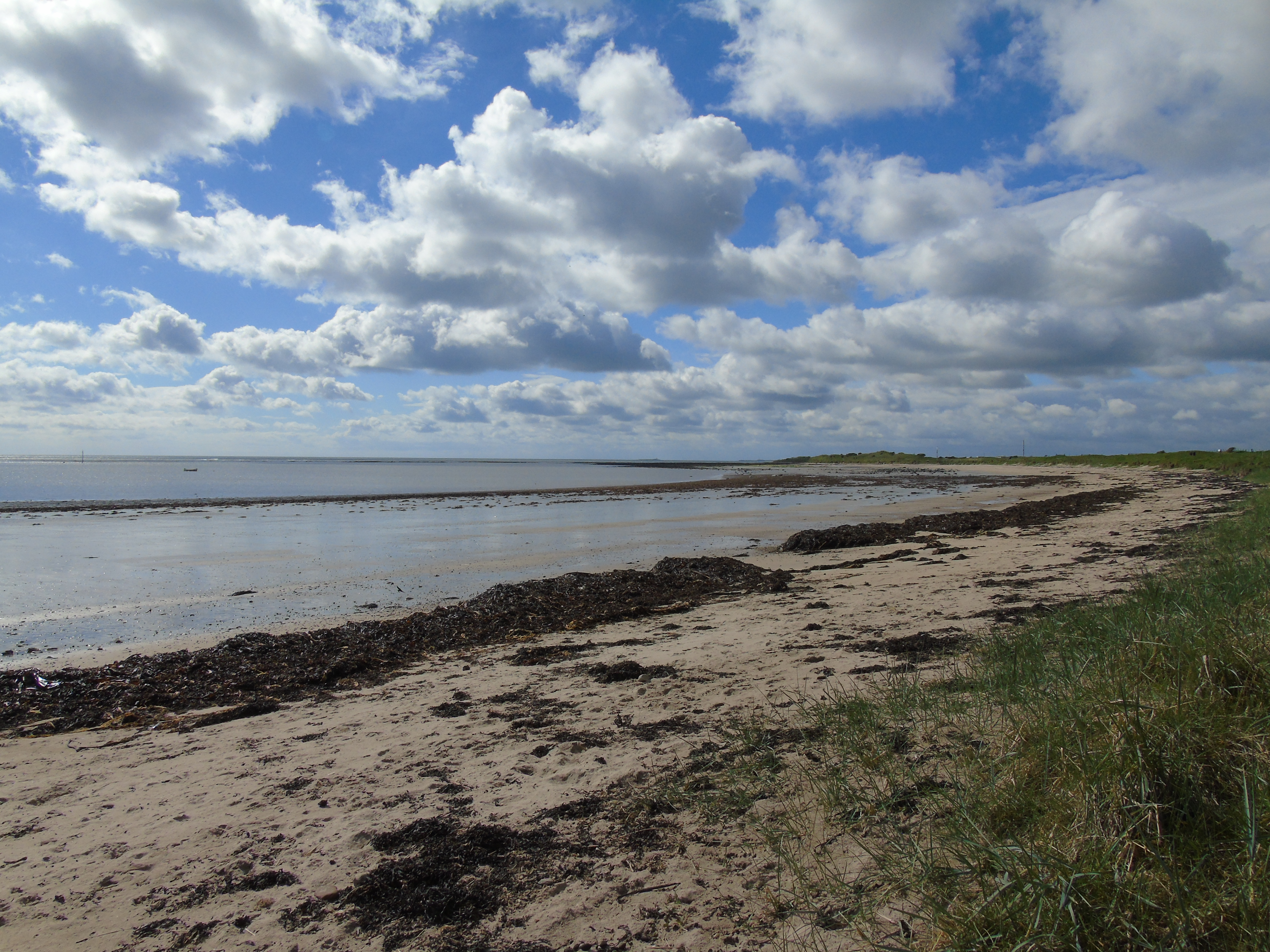
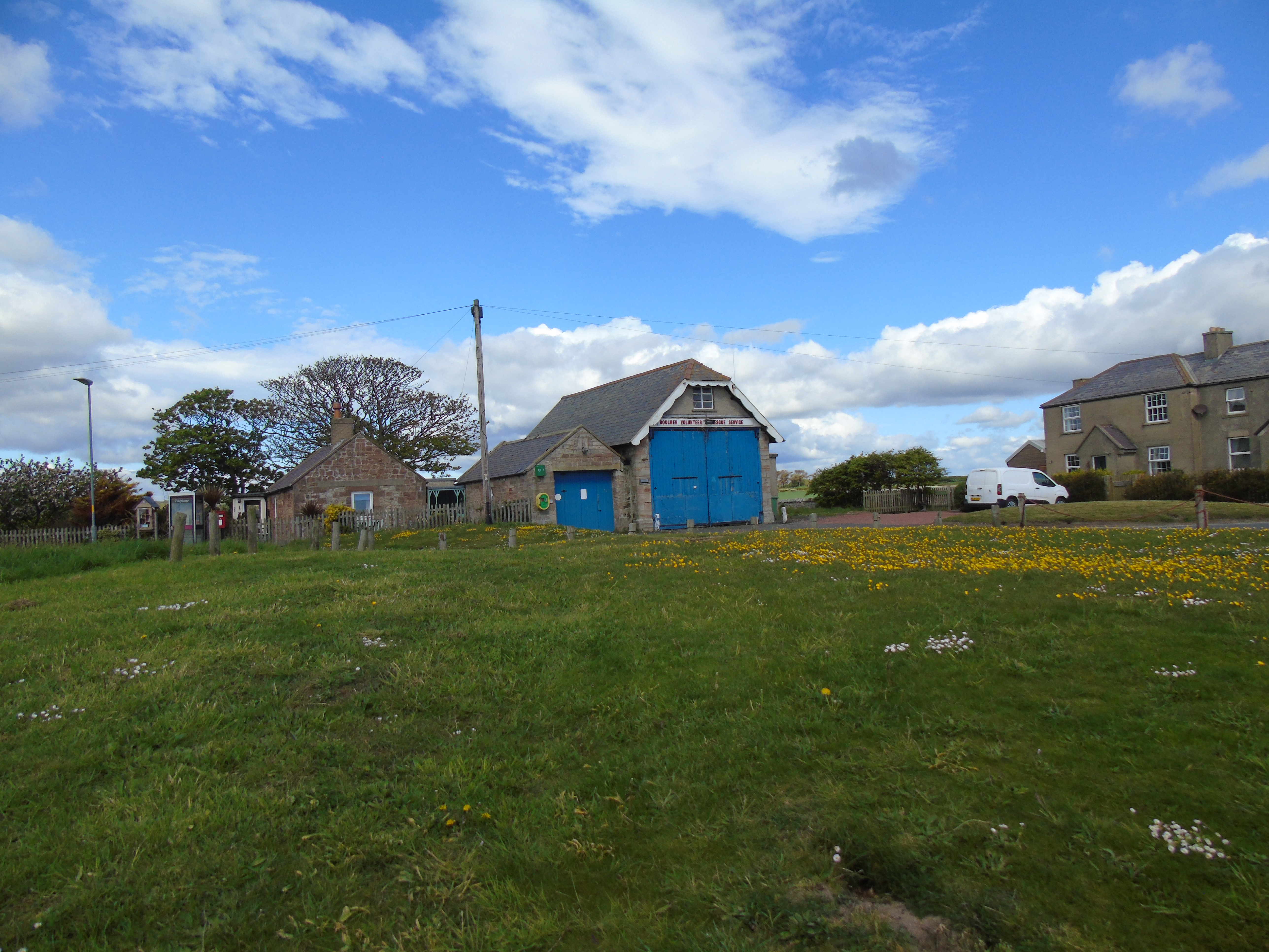
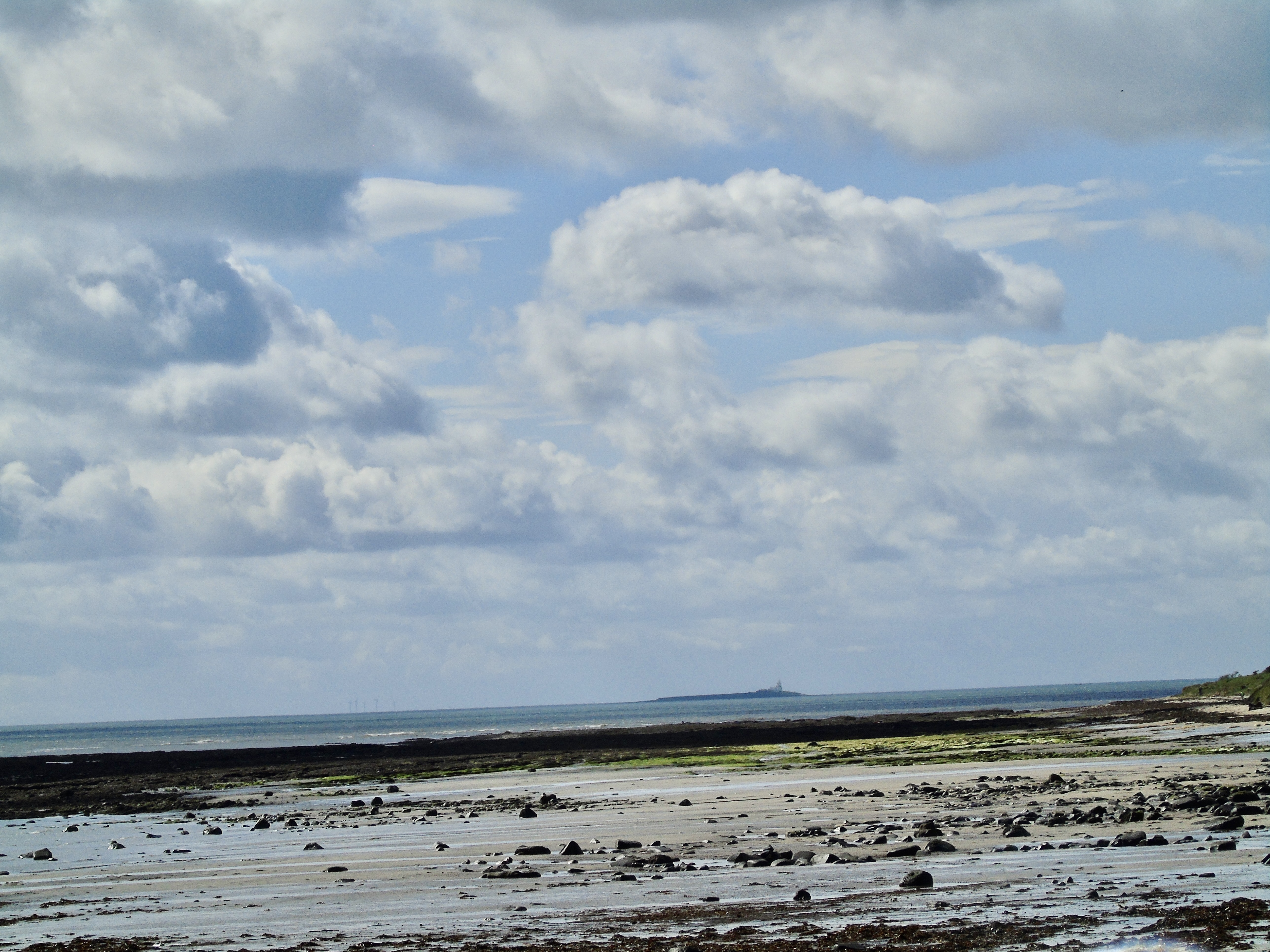
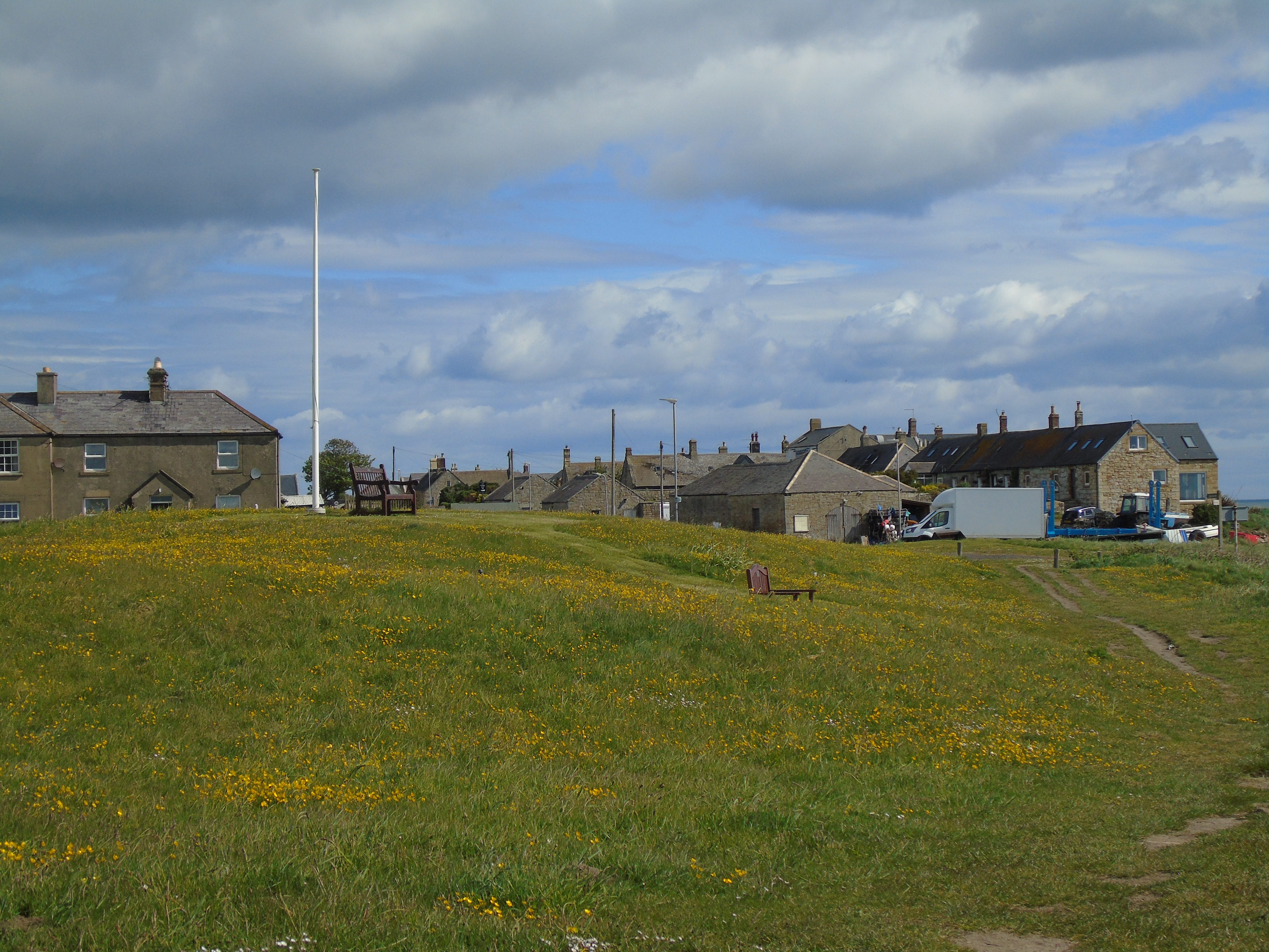
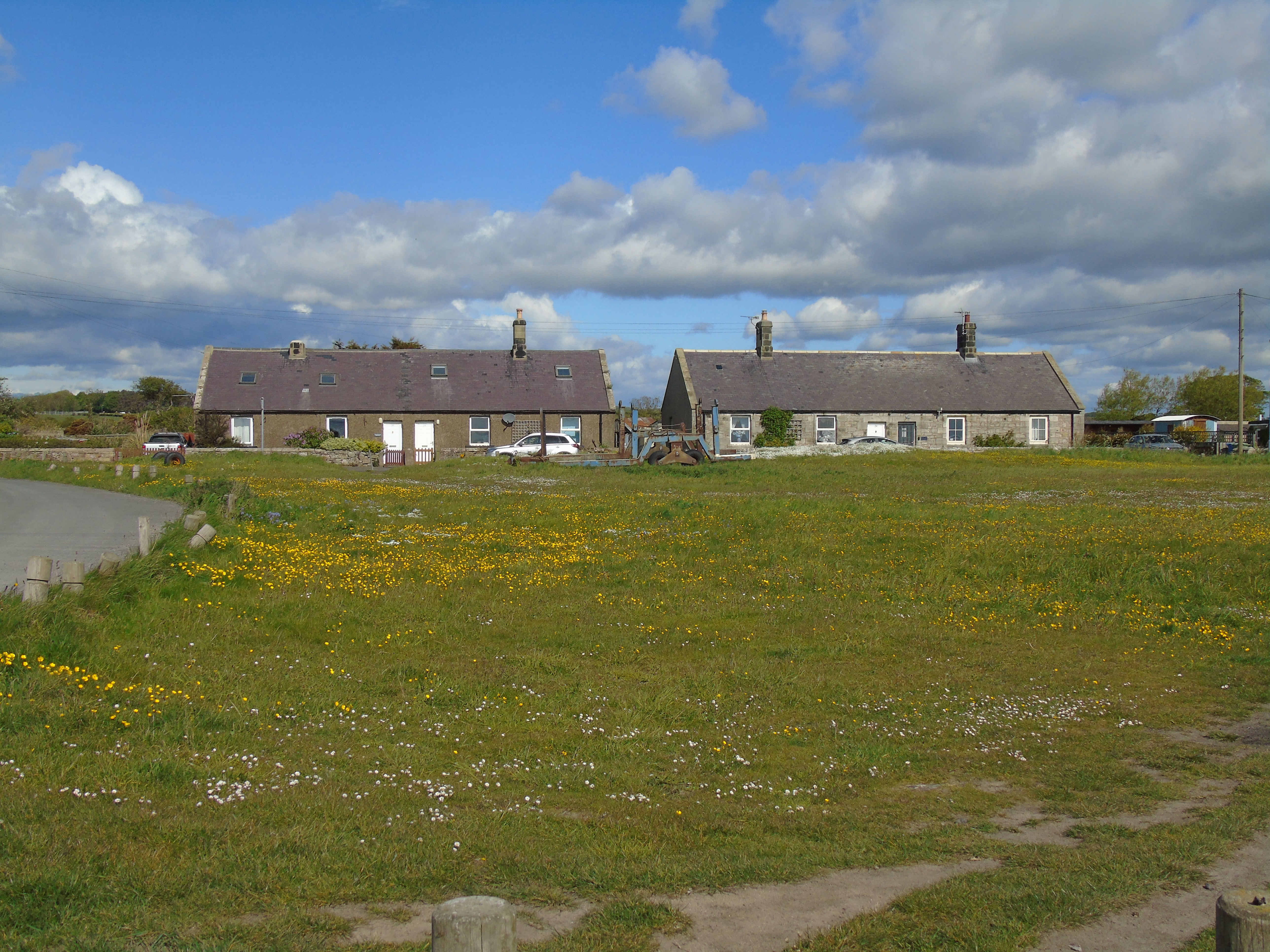
Boulmer (pronouced Boomer) is a small fishing village just down the coast from Beadnell and about 6 miles from Alnwick. It has a lovely sweeping sandy bay and was very peaceful when we went there. The village has no harbour and its fishing boats, which are traditional blue cobbles, are pulled ashore or moored in the sea. The main fishing is for crabs, lobster and sea salmon. There is a private lifeboat and station which was founded by the locals after the RNLI withdrew the service.
The village consists of some fishermen’s cottages and a pub, the Fishing Boat Inn. Your Northumberland Guide gives more information on Boulmer and the area.
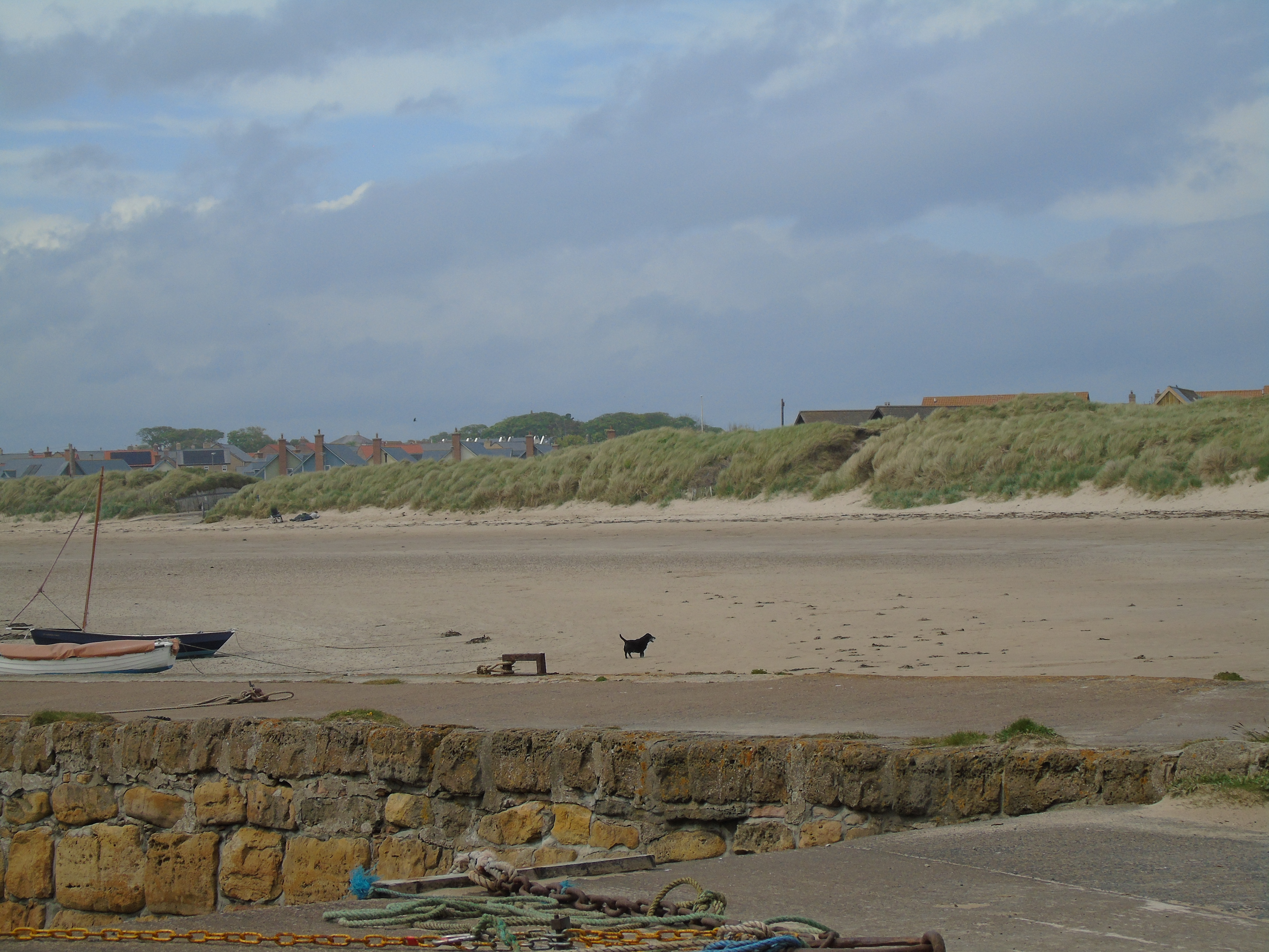
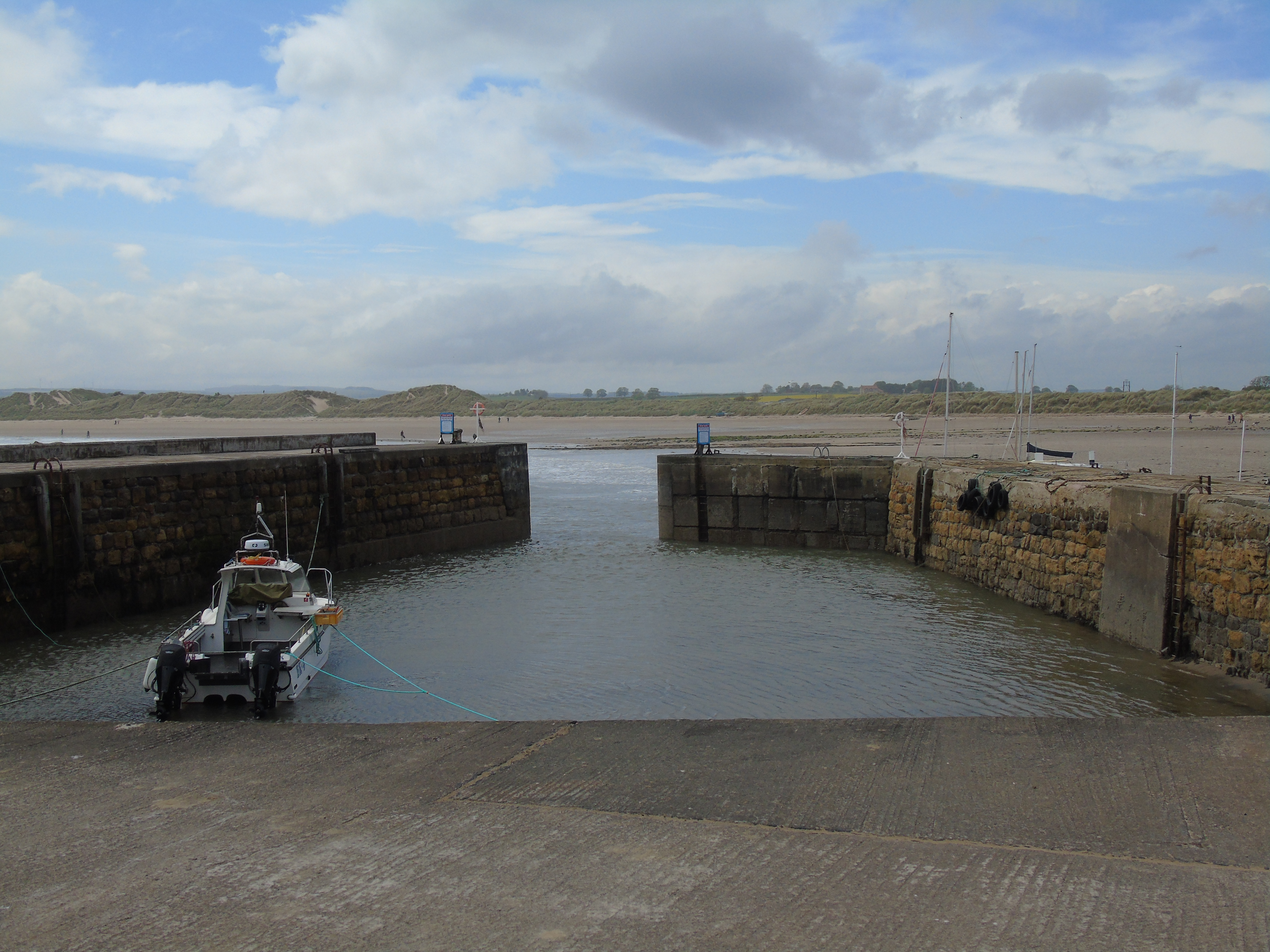
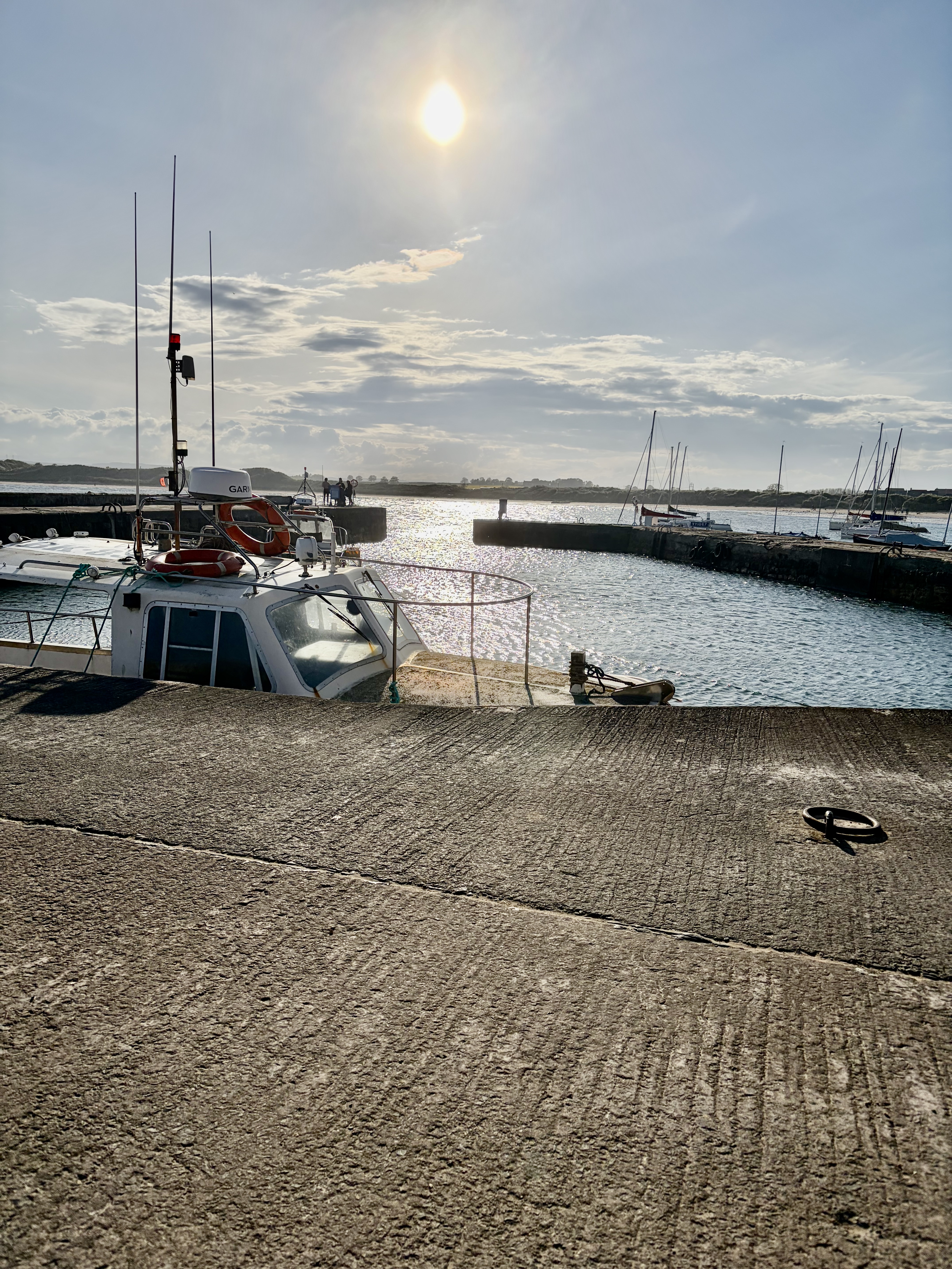
As you round the corner from Harbour Road you come into Beadnell (or Benthall) Bay and Harbour. The contrast is striking. The harbour wall marks the change from rocks to beach. You find youself in a wide sweeping sandy bay with sand dunes leading to the path to the village, cafes and shops. See map below.
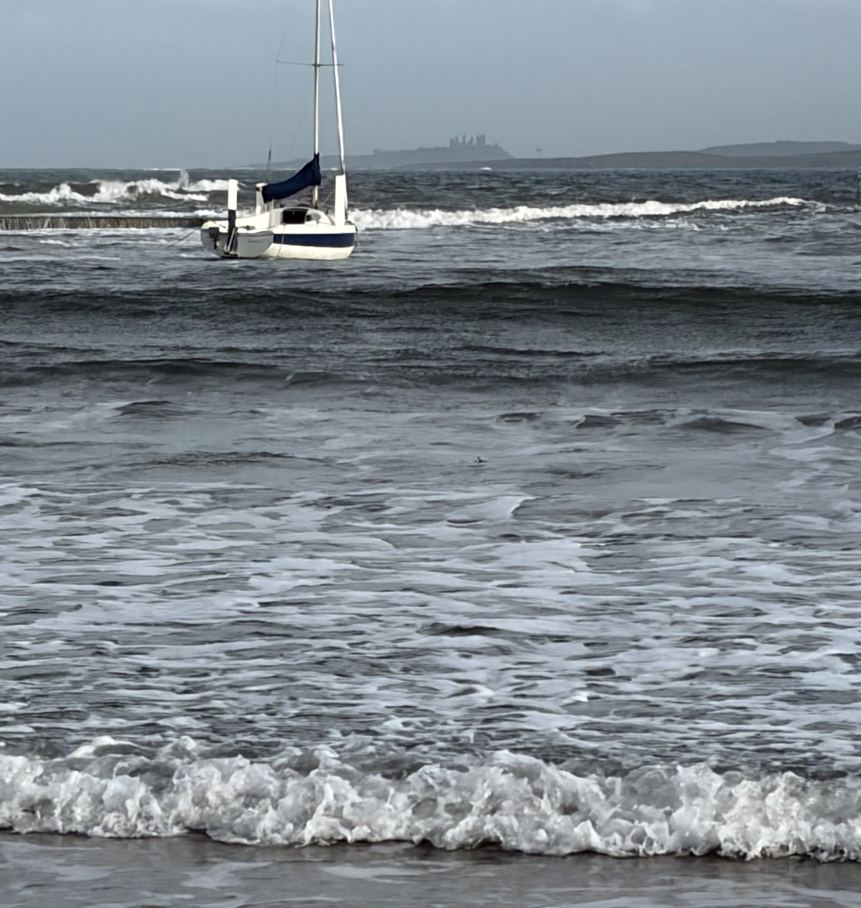
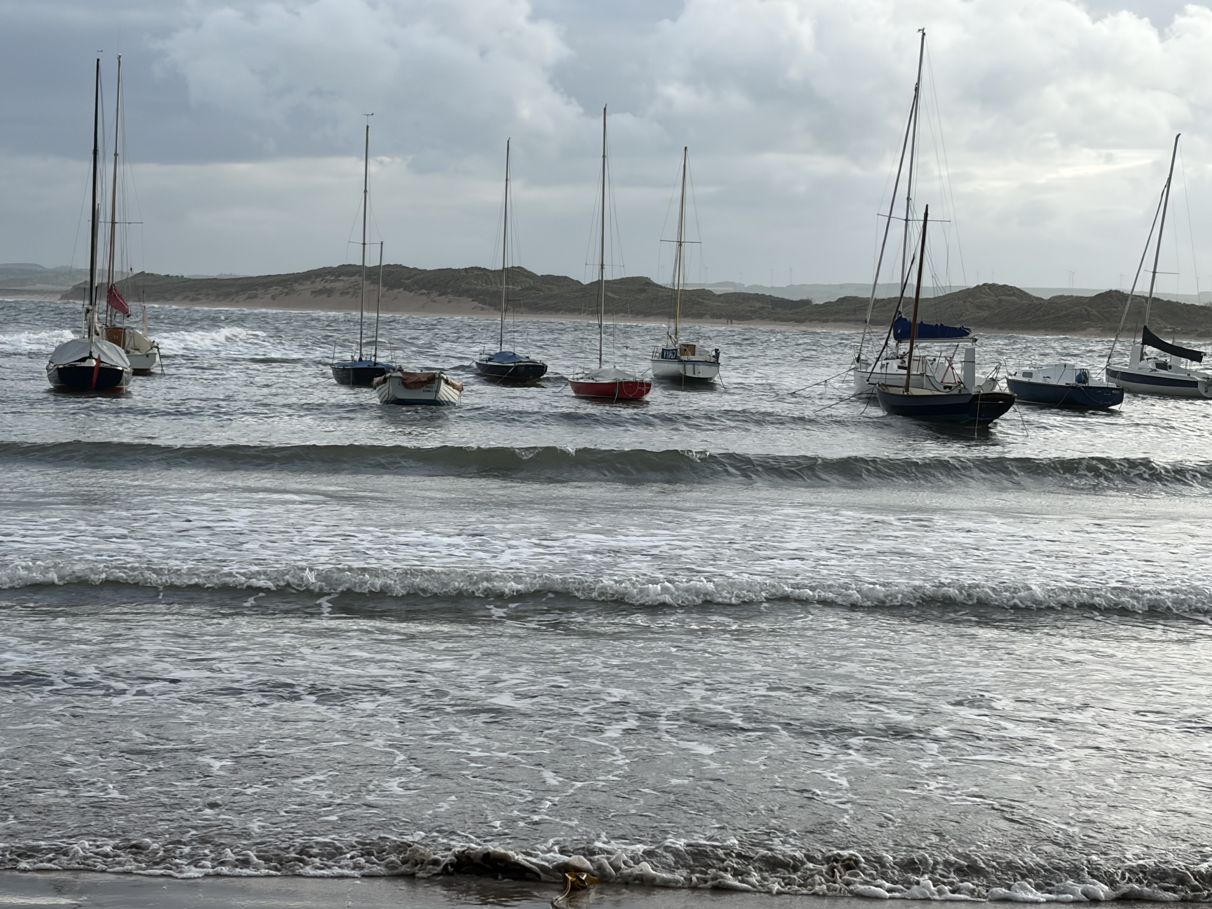
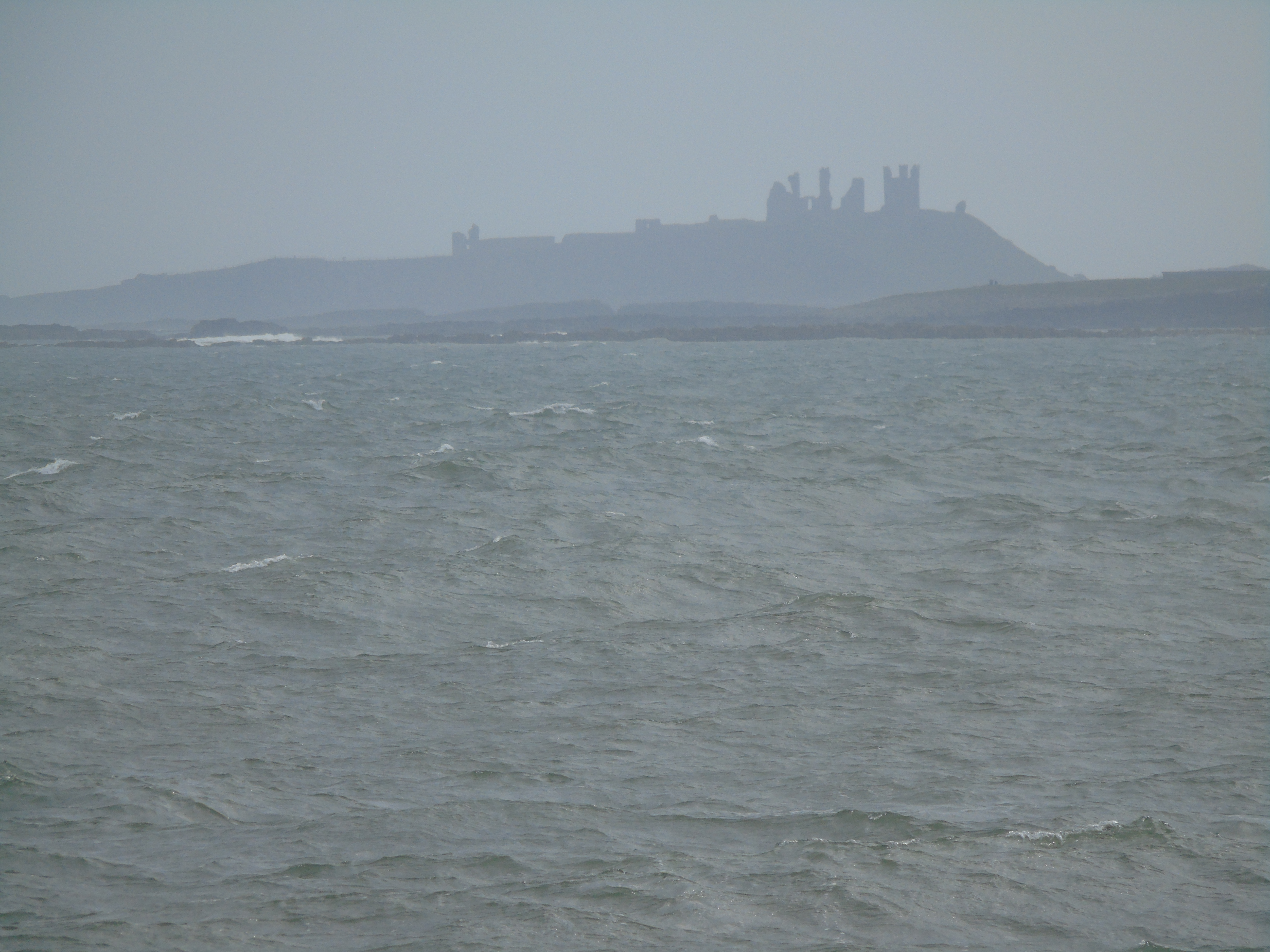
You can see Dunstanburgh Castle in the distance and can walk for miles along the beach at low tide. The small harbour seems to be used for private boats and can only be used at high tide.
A few photogaphs
We had one quite windy day when we were there and I took the video below on the harbour wall.
We had a really lovely time in Beadnell and area. I love that coast and would highly recommend staying there. The next few posts will be of some of the other places in the area we went to.
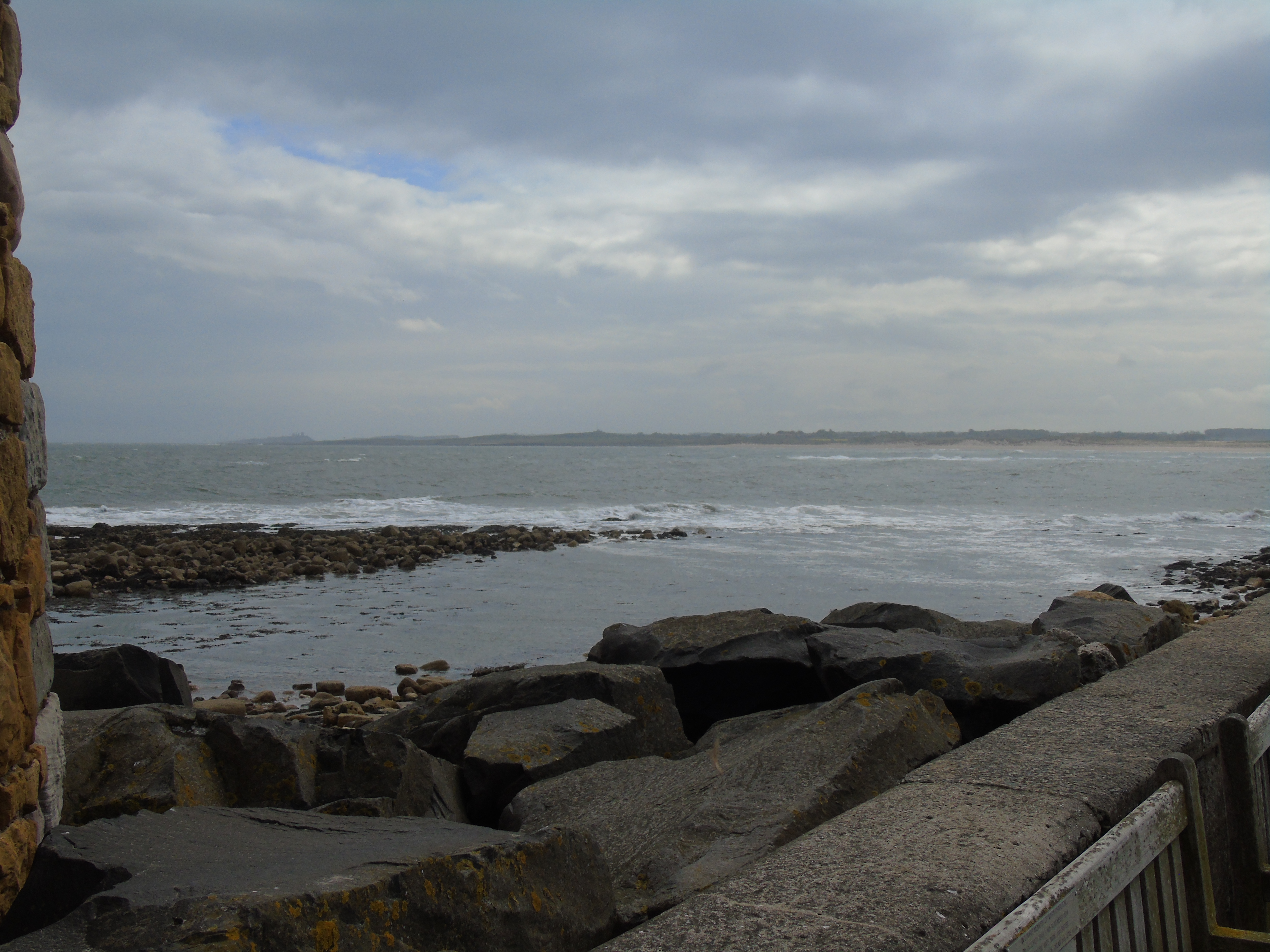
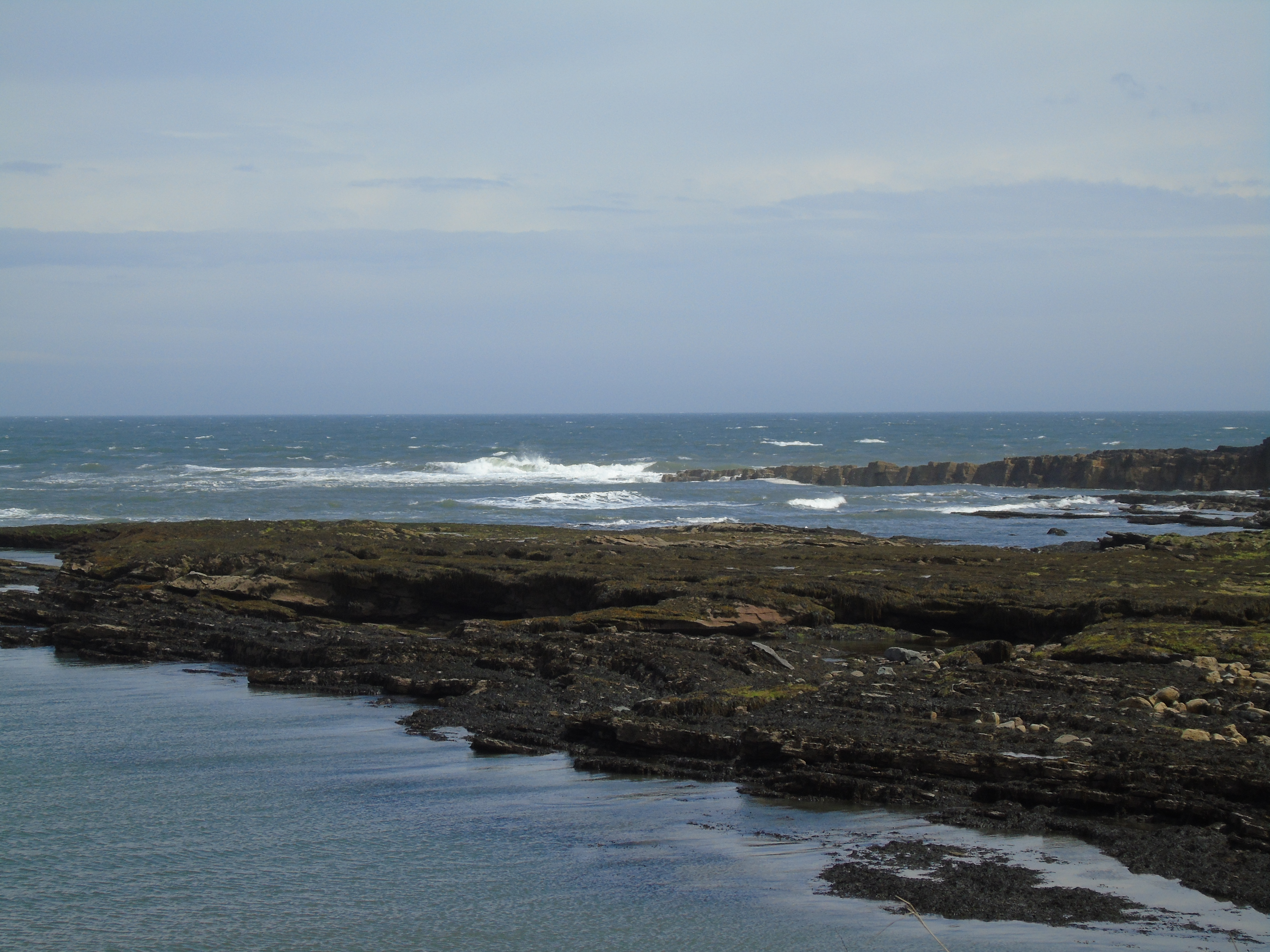
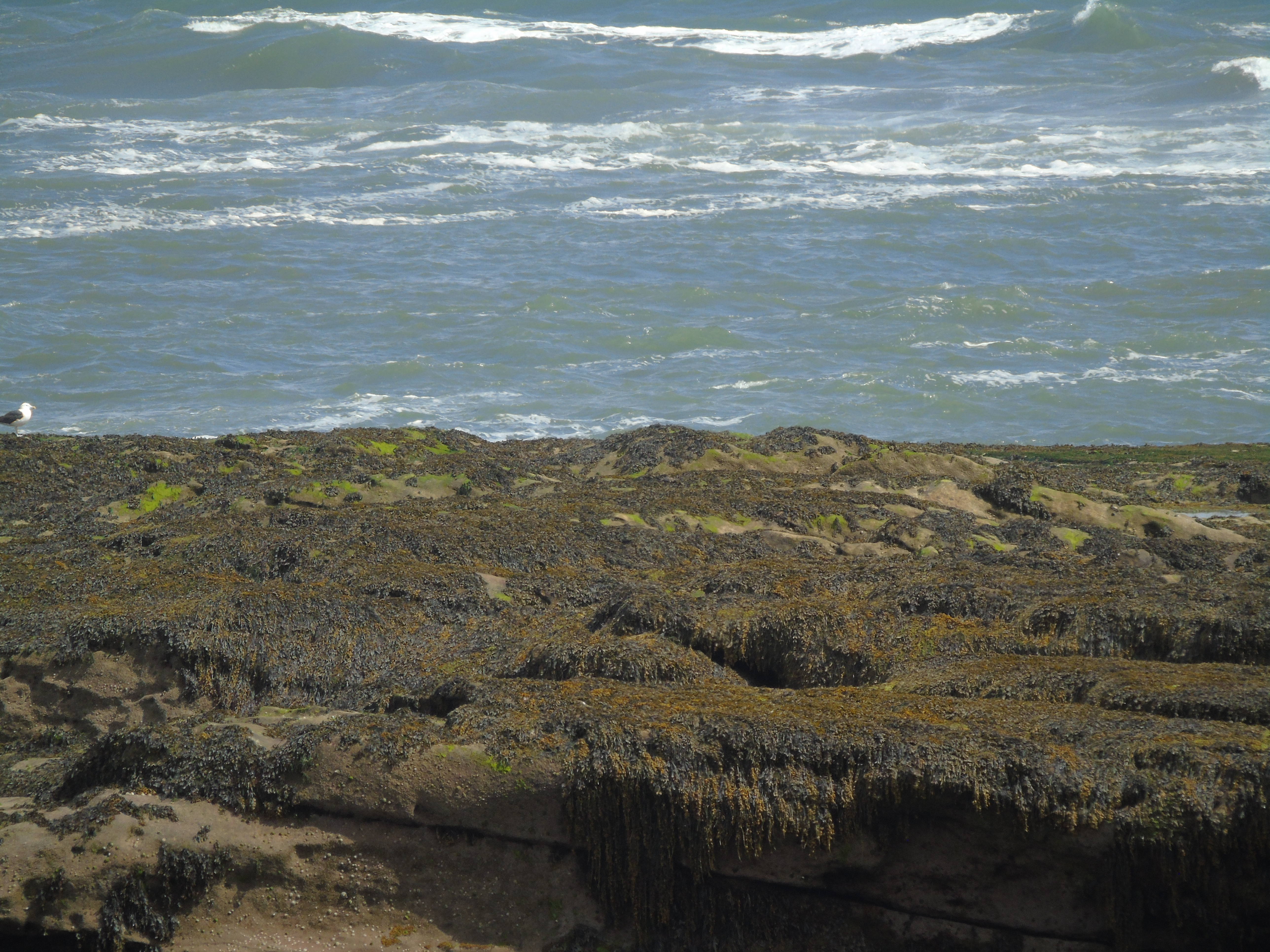
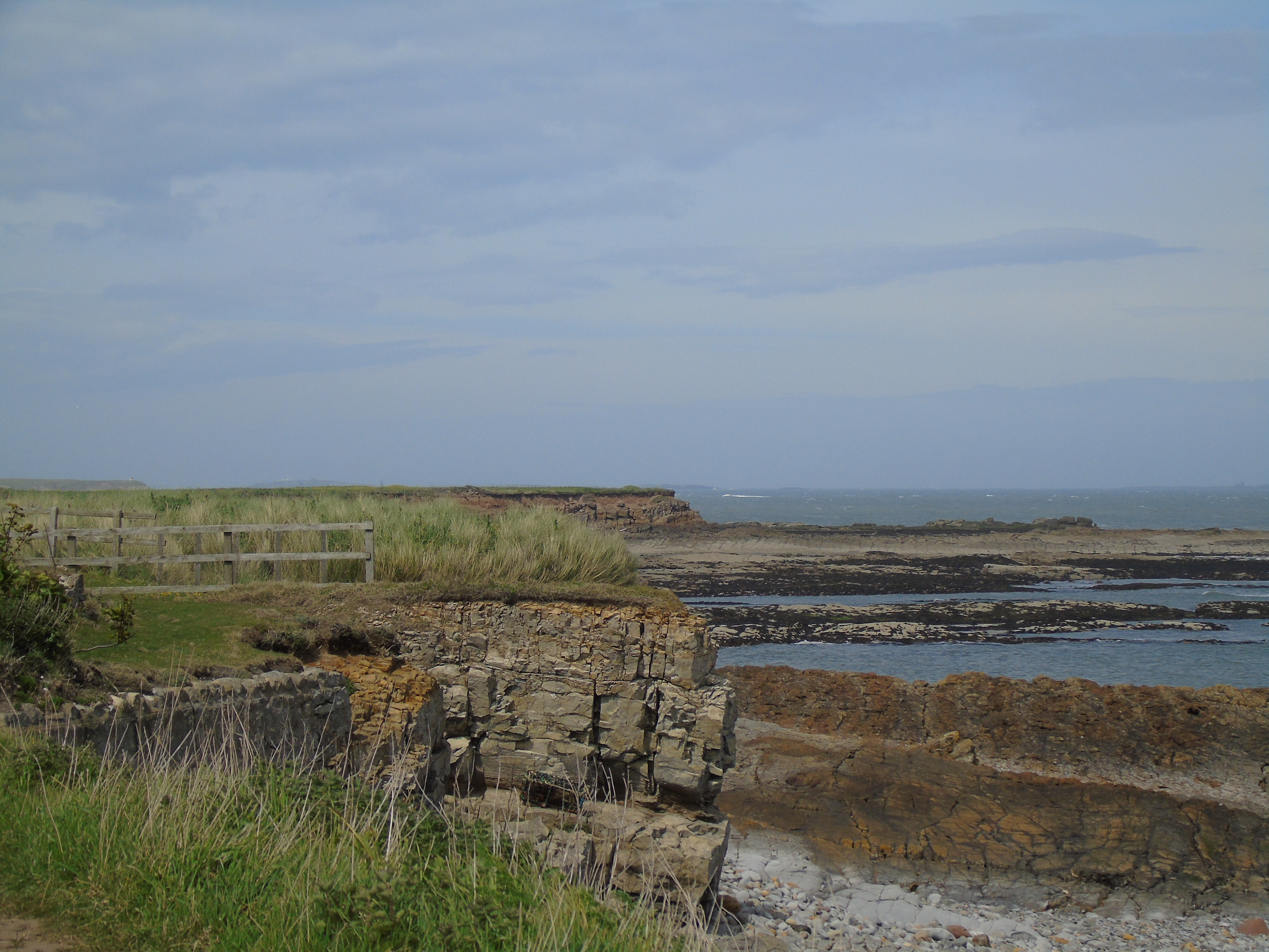
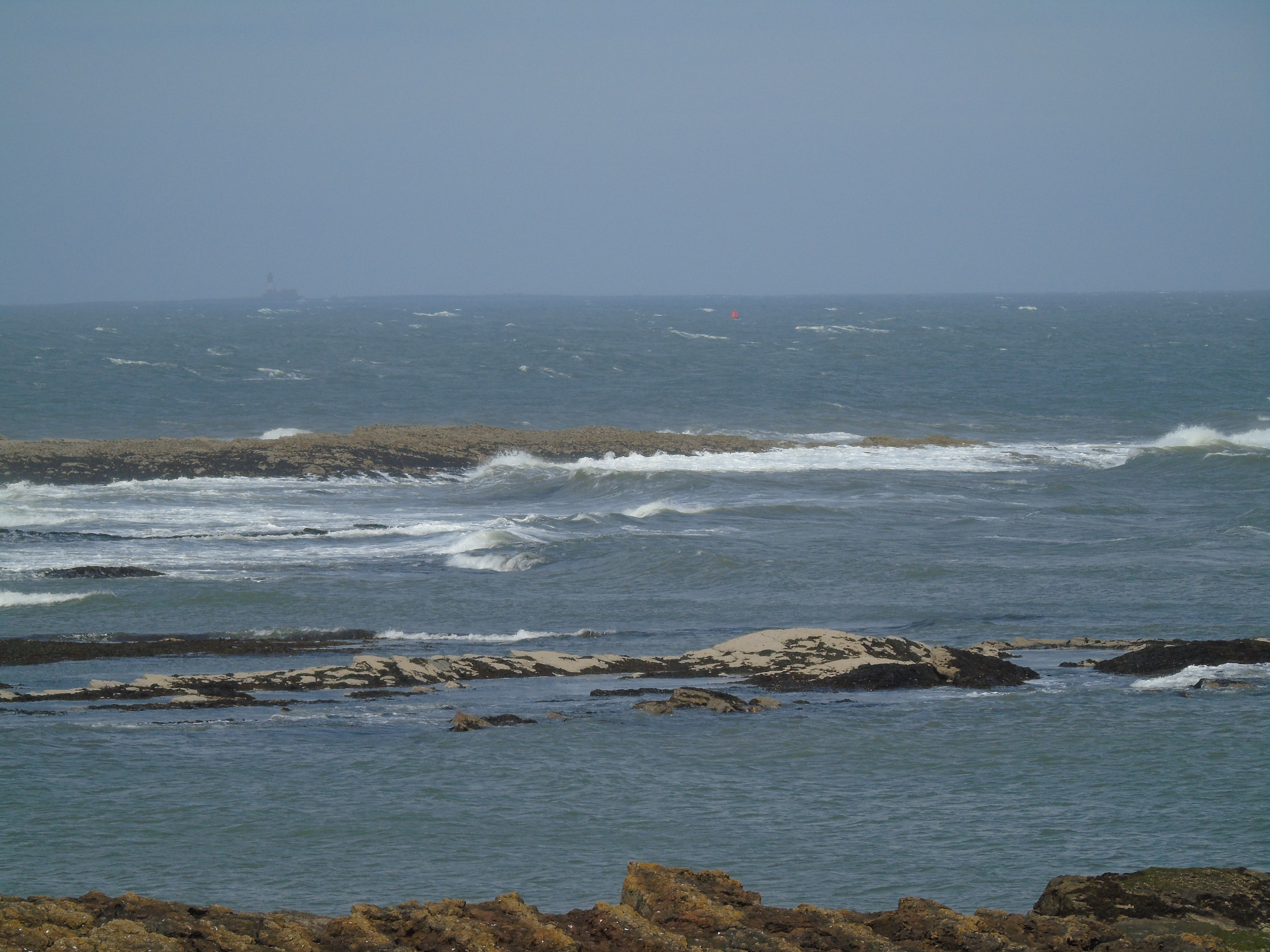
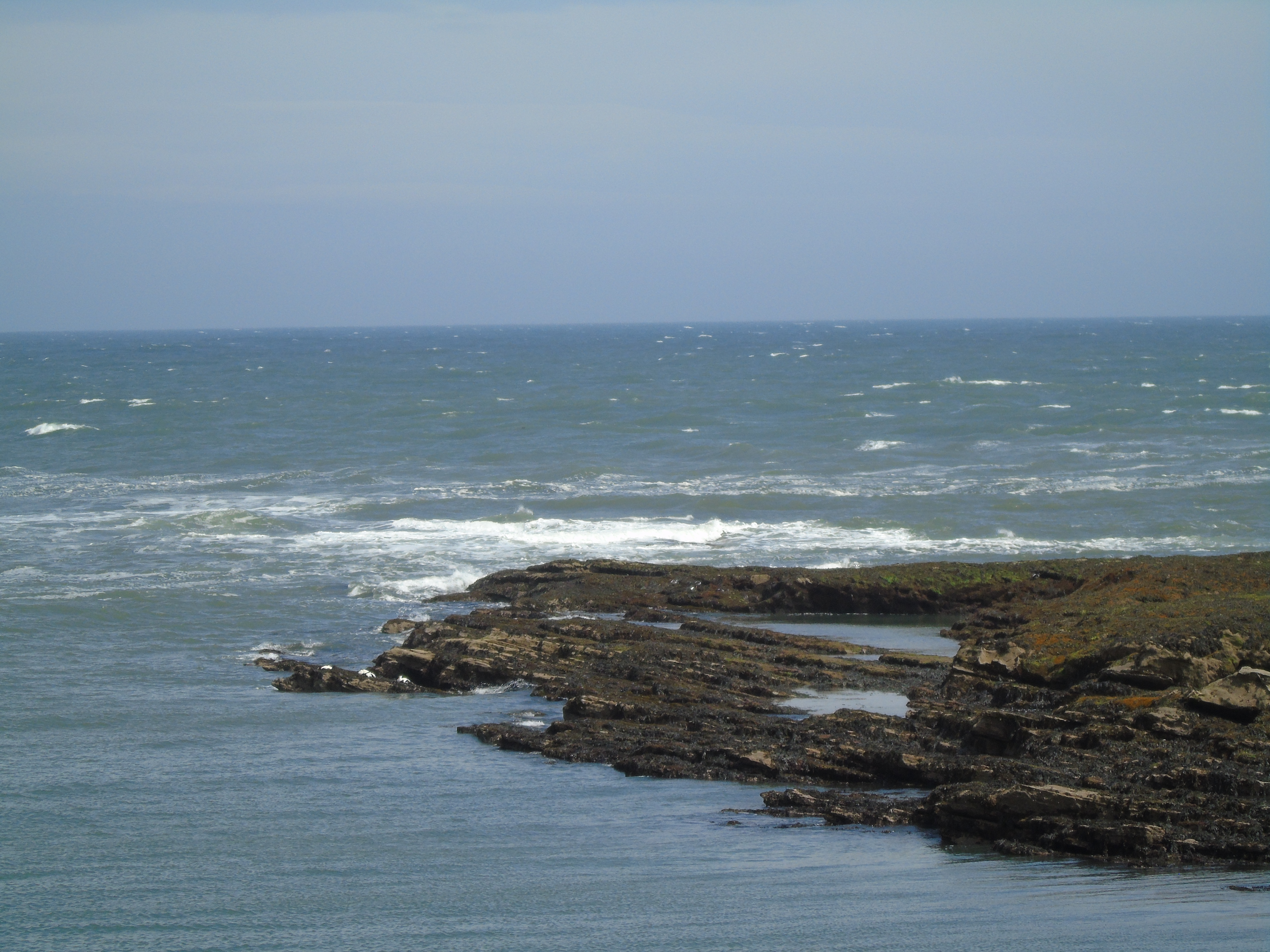
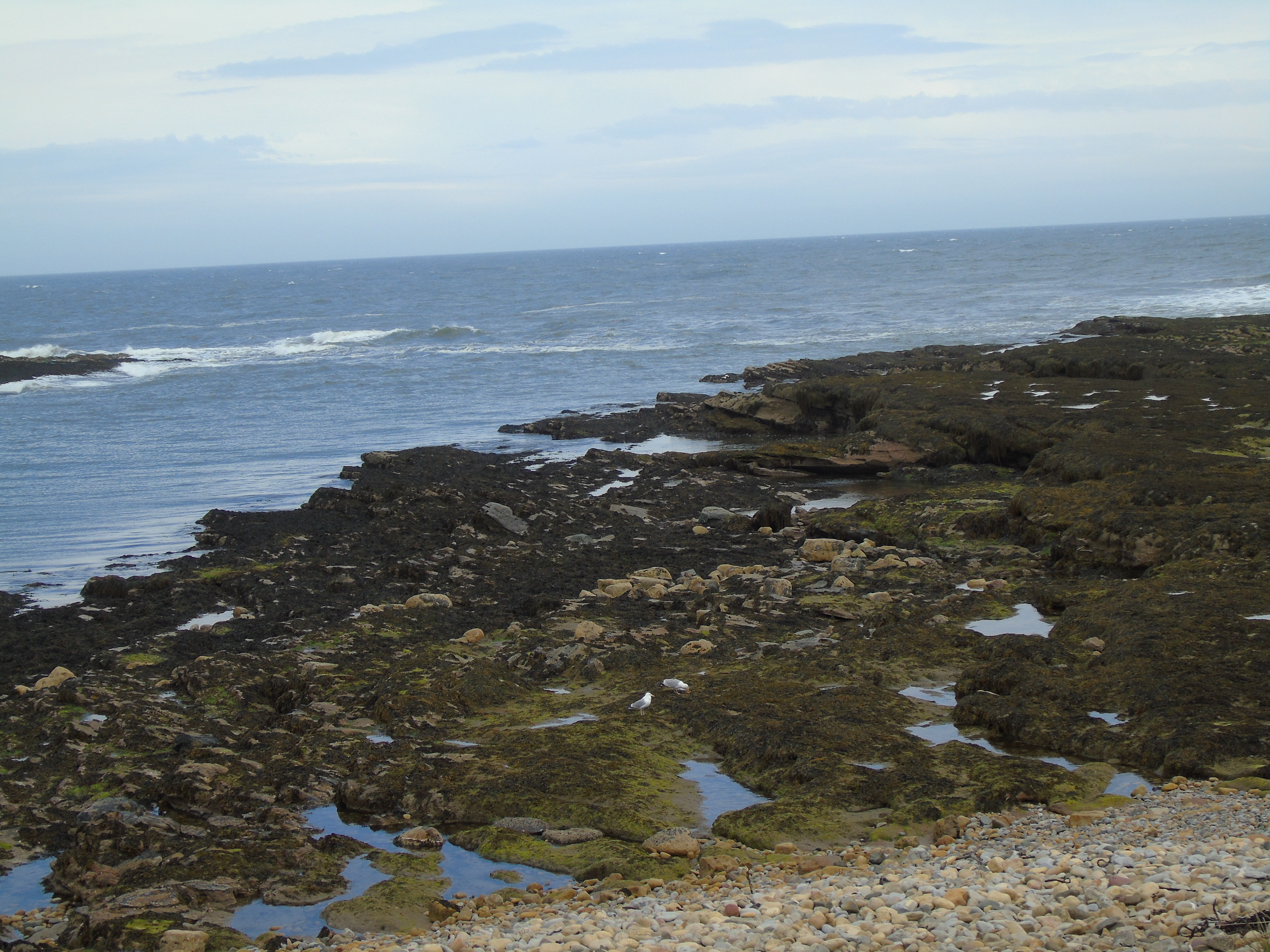
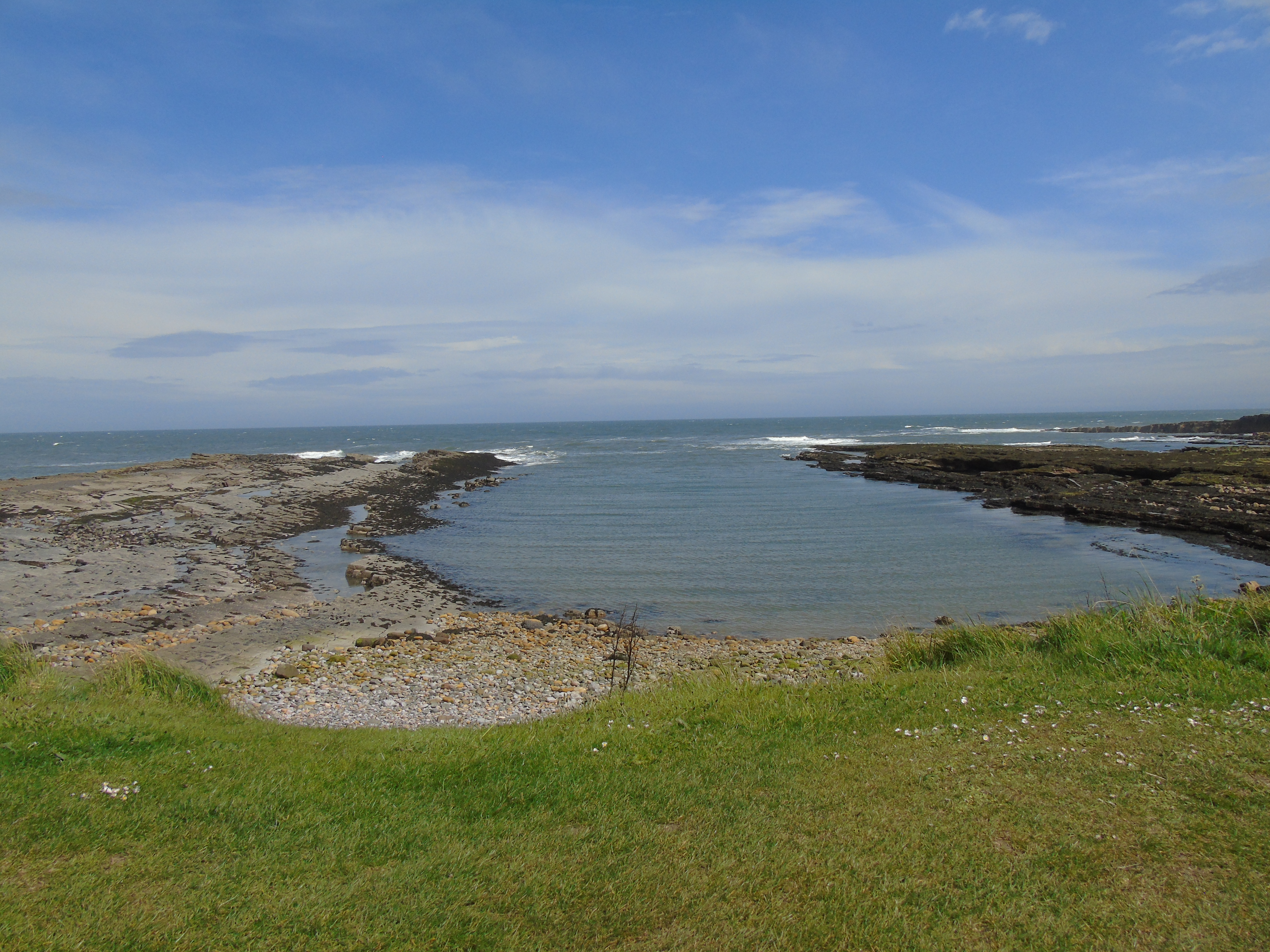
The area at the bottom end of Harbour Road is my favourite place in Beadnell. I like the Bay and Harbour but there is something so relaxing about watching the waves on the rocks. I could sit there for hours just relaxing. Even in wet and windy weather, which we did have one day, it is still a lovely place to be.
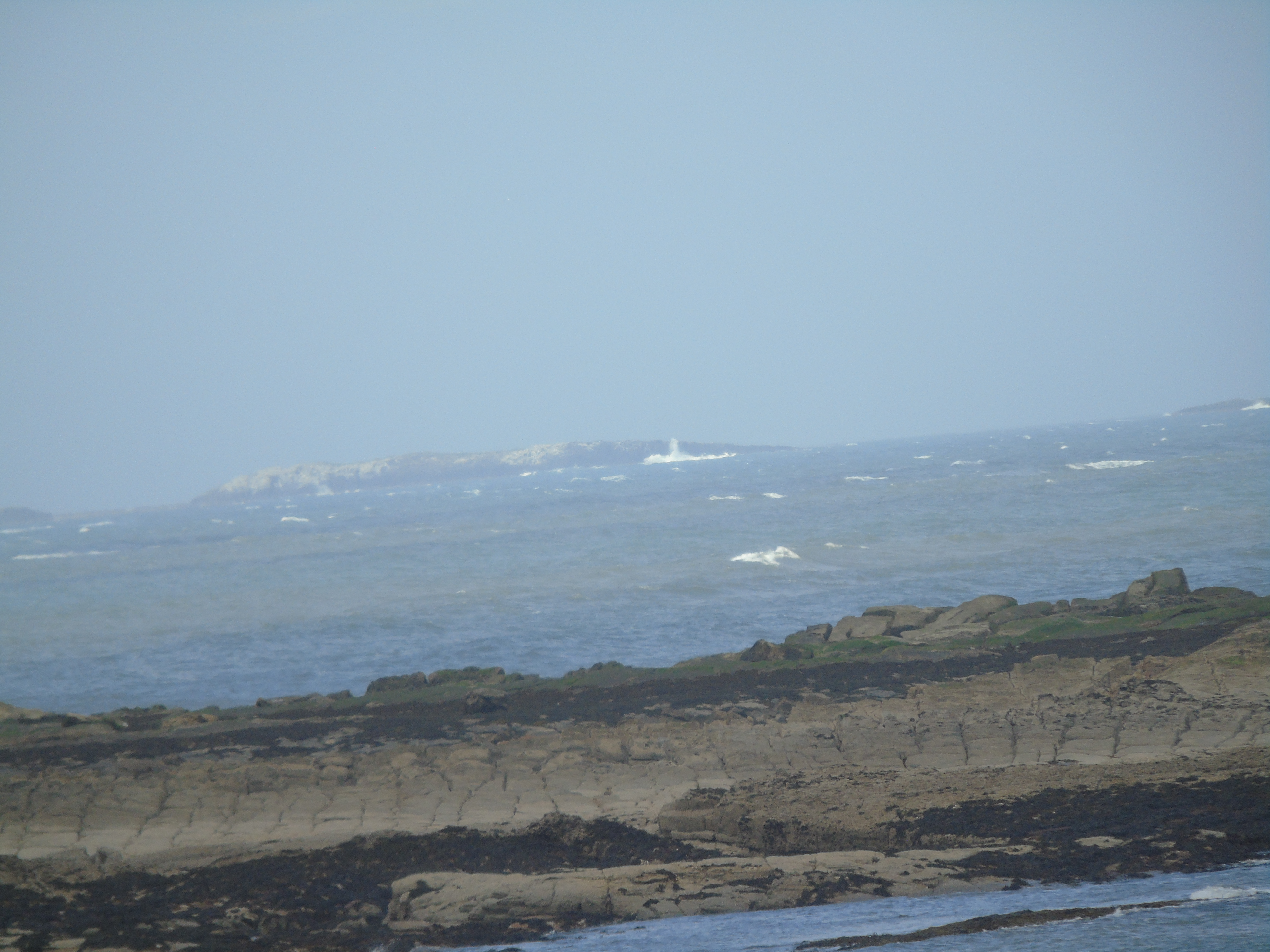
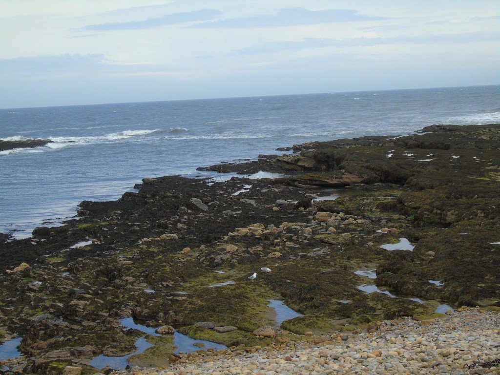
This beach in this area is pebbles and there are rocks and rock pools where the sea ebbs and flows with the tide. You can walk to Seahouses along the beach and can see the Farne Islands in the distance.
Below is a short video of the area.
Some photographs
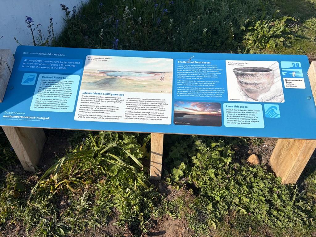
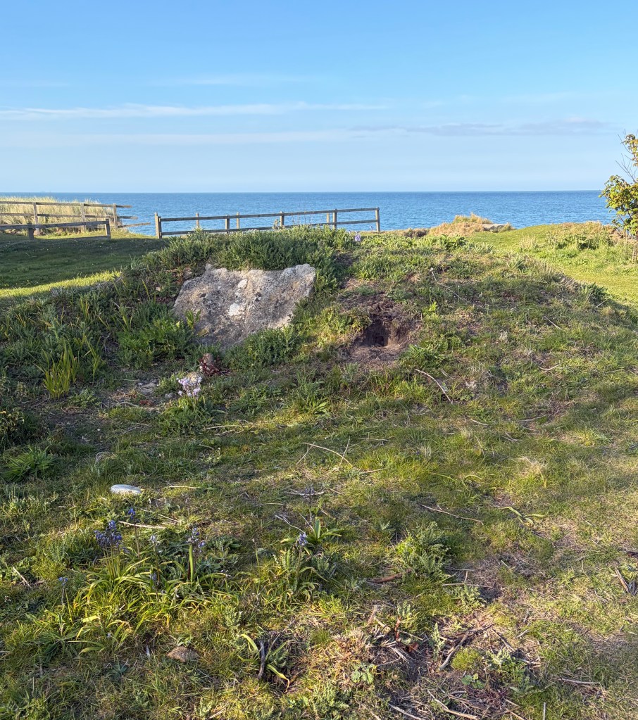
There is also a Cairn which has recently been discovered:
In May we went to Beadnell in Northumberland. This is a place we have stayed a few times and it is one of my favourite places in the country. It is a former fishing village on the North Sea, a few miles from Seahouses and Bamburgh Castle.
Beadnell seems to be split into three distinct areas, the village itself which is set back from the sea, the coastal area aound Harbour Road which faces Seahouse and the Farne Islands, and the sweeping beach of Beadnell Bay and Harbour. It is strange that the two coastal areas are so different even though they are a few hundred yards apart. Harbour Road is a pebble beach with rocks and rockpools whereas the Bay area is a sandy beach with dunes. The change seems to happen at the harbour wall.
You can walk to Seahouses from Harbour Road along the pebble beach, a distance of about three miles and from Beadnell Bay you can walk to Dunstanburgh Castle which can be seen in the distance. The next couple of places blogs will describe the two areas in more detail but a couple of photos showing the contrast are below
Seascape from Harbour Roaad
Beadnell Bay
We stayed in a fairly modern house on an estate just behind Harbour Road and a five minute walk to the beach so we were handily placed for walking and taking photos. We did not visit the village which is about a ten minute walk from the beach. We had been there on a previous visit and, although very nice, we were happy to concentrate on the coast.
We also went along the coast to Boulmer (apparently pronounced Boomer), Longhoughton, Seahouses and Bambrough (although we did not visit the castle). The next few places blogs will also be about our time there.